 Old Cumbria Gazetteer
 |
 |
|
| Lounthwaite Bridge, Milburn | ||
| Lounthwaite Bridge | ||
| site name:- | Crowdundle Beck | |
| locality:- | Lounthwaite | |
| civil parish:- | Milburn (formerly Westmorland) | |
| civil parish:- | Culgaith (formerly Cumberland) | |
| county:- | Cumbria | |
| locality type:- | bridge | |
| locality type:- | boundary feature | |
| locality type:- | county boundary feature | |
| coordinates:- | NY64493053 | |
| 1Km square:- | NY6430 | |
| 10Km square:- | NY63 | |
|
|
||
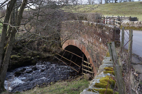 CCM24.jpg (taken 20.2.2015) |
||
|
|
||
| evidence:- | old map:- OS County Series (Wmd 5 5) placename:- Lounthwaite Bridge |
|
| source data:- | Maps, County Series maps of Great Britain, scales 6 and 25
inches to 1 mile, published by the Ordnance Survey, Southampton,
Hampshire, from about 1863 to 1948. OS County Series (Cmd 60 2) |
|
|
|
||
| evidence:- | old map:- Simpson 1746 map (Wmd) placename:- Millbridge |
|
| source data:- | Map, uncoloured engraving, Westmorland, scale about 8 miles to 1
inch, printed by R Walker, Fleet Lane, London, 1746.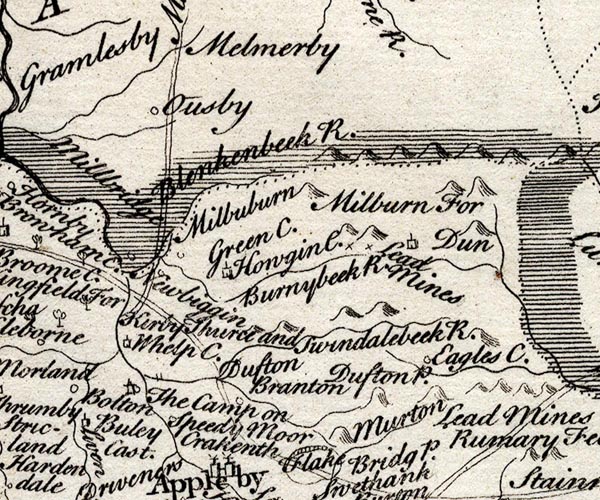 SMP2NYR.jpg "Millbridge" item:- Dove Cottage : 2007.38.59 Image © see bottom of page |
|
|
|
||
| evidence:- | old map:- Jefferys 1770 (Wmd) |
|
| source data:- | Map, 4 sheets, The County of Westmoreland, scale 1 inch to 1
mile, surveyed 1768, and engraved and published by Thomas
Jefferys, London, 1770. J5NY63SW.jpg double line, road, across a stream; bridge; near Lundthwaite item:- National Library of Scotland : EME.s.47 Image © National Library of Scotland |
|
|
|
||
| evidence:- | old map:- Bell 1892 placename:- Lownthwaite Bridge |
|
| source data:- | Map, colour lithograph, Road Map of Cumberland, by George Joseph
Bell, scale about 2.5 miles to 1 inch, printed by Charles
Thurnam and Sons, Carlisle, Cumberland, 1892. BEL9NY63.jpg "LOWNTHWAITE" bridge symbol; on county boundary Road map of Cumberland showing County Bridges item:- Carlisle Library : Map 38 Image © Carlisle Library |
|
|
|
||
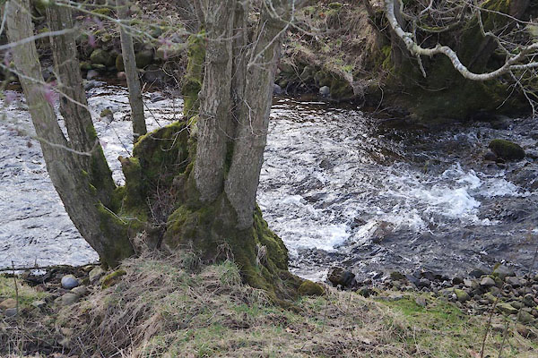 CCM27.jpg View of river. (taken 20.2.2015) 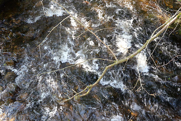 CGO95.jpg View of river. (taken 19.9.2017) 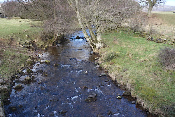 CCM26.jpg View of river. Wreay Sike entering on the left. (taken 20.2.2015) |
||
|
|
||
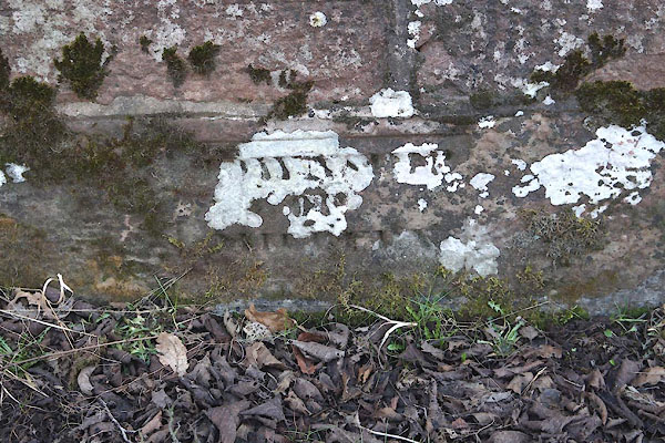 CCM25.jpg Plaque. (taken 20.2.2015) 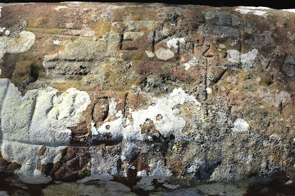 CGO93.jpg Graffiti (taken 19.9.2017) 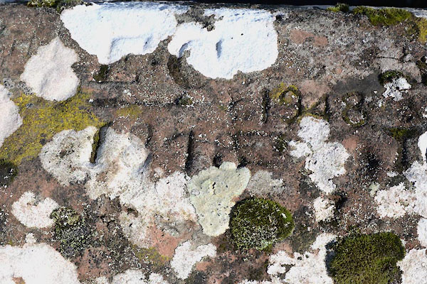 CGO94.jpg Graffiti (taken 19.9.2017) |
||
|
|
||
 Lakes Guides menu.