 Old Cumbria Gazetteer
 |
 |
|
| bridge, Kingwater (4) | ||
| site name:- | Spadeadam Forest | |
| civil parish:- | Kingwater (formerly Cumberland) | |
| county:- | Cumbria | |
| locality type:- | bridge | |
| locality type:- | ford | |
| coordinates:- | NY66967464 | |
| 1Km square:- | NY6674 | |
| 10Km square:- | NY67 | |
|
|
||
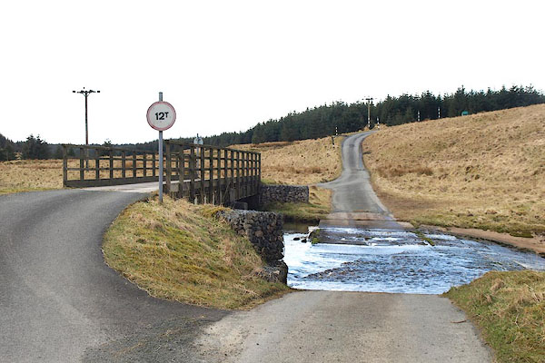 BOV96.jpg (taken 21.3.2008) 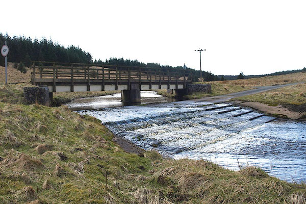 BOV97.jpg (taken 21.3.2008) |
||
|
|
||
| evidence:- | old map:- OS County Series (Cmd 9 3) |
|
| source data:- | Maps, County Series maps of Great Britain, scales 6 and 25
inches to 1 mile, published by the Ordnance Survey, Southampton,
Hampshire, from about 1863 to 1948. "Ford" |
|
|
|
||
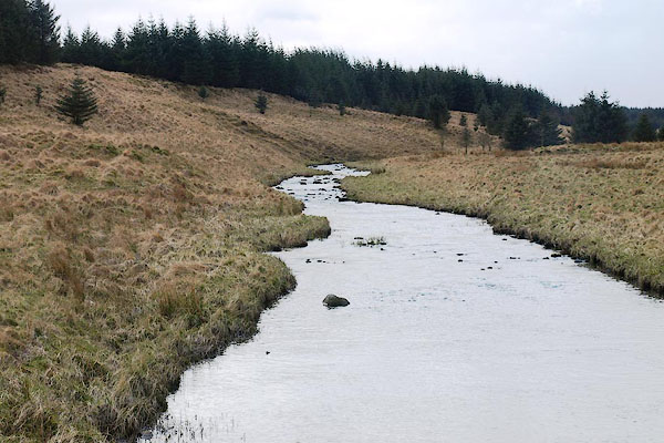 BOV98.jpg View of river. (taken 21.3.2008) |
||
|
|
||
 Lakes Guides menu.