 Old Cumbria Gazetteer
 |
 |
|
| Butterburn Bidge, Kingwater | ||
| Butterburn Bridge | ||
| site name:- | Butter Burn | |
| site name:- | Spadeadam Forest | |
| civil parish:- | Kingwater (formerly Cumberland) | |
| county:- | Cumbria | |
| locality type:- | bridge | |
| coordinates:- | NY67797424 | |
| 1Km square:- | NY6774 | |
| 10Km square:- | NY67 | |
|
|
||
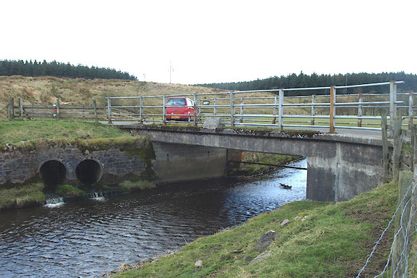 BOV92.jpg (taken 21.3.2008) 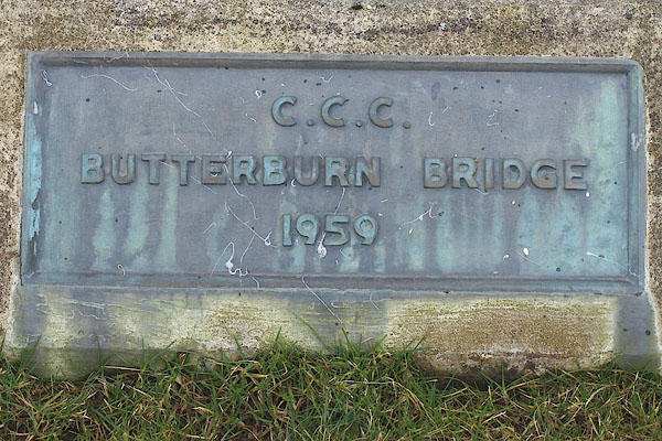 BOV93.jpg Bronze? plaque:- "C.C.C. / BUTERBURN BRIDGE / 1959" (taken 21.3.2008) |
||
|
|
||
| evidence:- | old map:- OS County Series (Cmd 9 7) |
|
| source data:- | Maps, County Series maps of Great Britain, scales 6 and 25
inches to 1 mile, published by the Ordnance Survey, Southampton,
Hampshire, from about 1863 to 1948. "Fords" |
|
|
|
||
 Lakes Guides menu.