 Old Cumbria Gazetteer
 |
 |
|
| Calders, Sedbergh | ||
| Calders | ||
| locality:- | Brant Fell | |
| locality:- | Howgill Fells | |
| civil parish:- | Sedbergh (formerly Yorkshire) | |
| county:- | Cumbria | |
| locality type:- | hill | |
| coordinates:- | SD67069601 | |
| 1Km square:- | SD6796 | |
| 10Km square:- | SD69 | |
| altitude:- | 2211 feet | |
| altitude:- | 674m | |
|
|
||
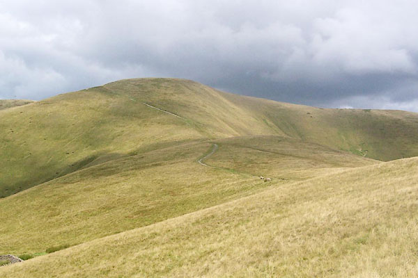 BRH31.jpg (taken 13.8.2009) 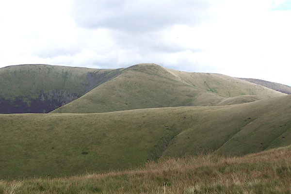 BRI30.jpg (taken 27.8.2009) |
||
|
|
||
| evidence:- | old map:- Jefferys 1770 (Wmd) placename:- Cold Arse |
|
| source data:- | Map, 4 sheets, The County of Westmoreland, scale 1 inch to 1
mile, surveyed 1768, and engraved and published by Thomas
Jefferys, London, 1770.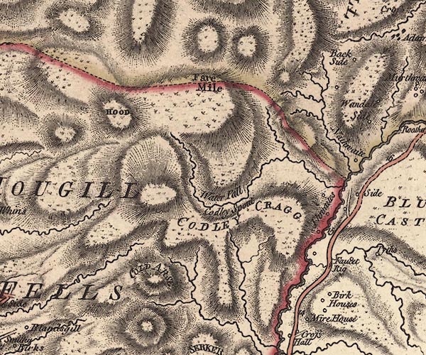 J5SD69NE.jpg "COLD ARSE" hill hachuring; hill or mountain item:- National Library of Scotland : EME.s.47 Image © National Library of Scotland |
|
|
|
||
| evidence:- | old map:- Cary 1789 (edn 1805) placename:- Cold Arse |
|
| source data:- | Map, uncoloured engraving, Westmoreland, scale about 2.5 miles
to 1 inch, by John Cary, London, 1789; edition 1805.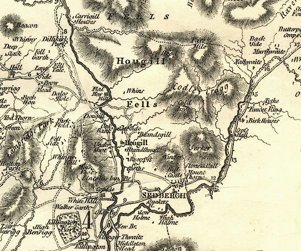 CY24SD69.jpg "Cold Arse" hill hachuring item:- JandMN : 129 Image © see bottom of page |
|
|
|
||
| evidence:- | probably old map:- Ford 1839 map placename:- Cold Peak |
|
| source data:- | Map, uncoloured engraving, Map of the Lake District of
Cumberland, Westmoreland and Lancashire, scale about 3.5 miles
to 1 inch, published by Charles Thurnam, Carlisle, and by R
Groombridge, 5 Paternoster Row, London, 3rd edn 1843.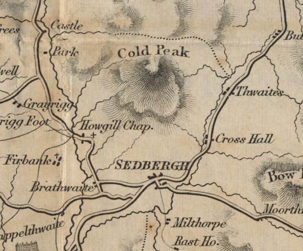 FD02SD69.jpg "Cold Peak" Hill hachuring. item:- JandMN : 100.1 Image © see bottom of page |
|
|
|
||
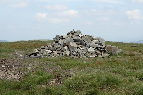 BYT92.jpg Cairn. (taken 9.7.2013) 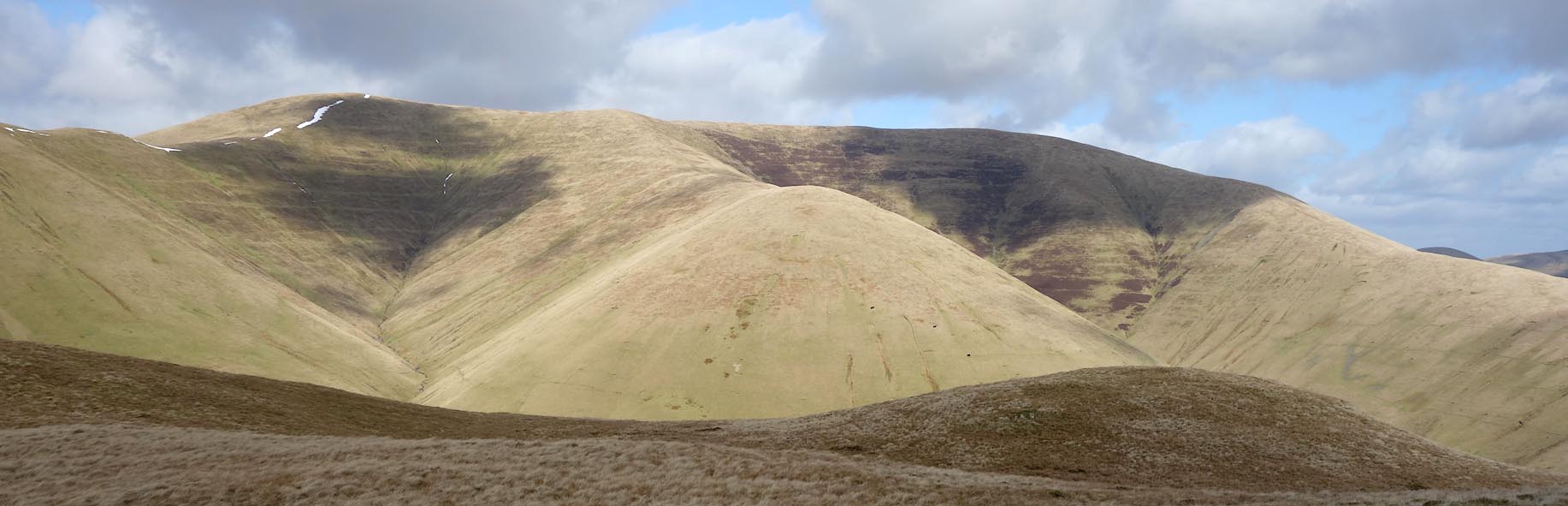 Click to enlarge CCP30.jpg Calders, Little Dummacks, Great Dummacks and Middle Tongue in front. (taken 10.3.2015) |
||
|
|
||
 Lakes Guides menu.