 Old Cumbria Gazetteer
 |
 |
|
| Concle Inn, Concle | ||
| Concle Inn | ||
| locality:- | Concle | |
| civil parish:- | Barrow-in-Furness (formerly Lancashire) | |
| county:- | Cumbria | |
| locality type:- | inn | |
| coordinates:- | SD23426598 | |
| 1Km square:- | SD2365 | |
| 10Km square:- | SD26 | |
|
|
||
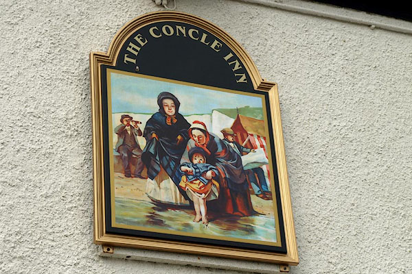 BPP47.jpg Innsign - people at the seaside. (taken 16.8.2008) 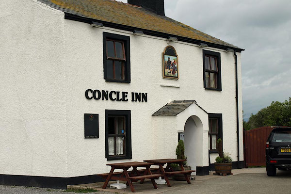 BPP46.jpg (taken 16.8.2008) |
||
|
|
||
| evidence:- | old map:- OS County Series (Lan 28 1) placename:- Concle Inn |
|
| source data:- | Maps, County Series maps of Great Britain, scales 6 and 25
inches to 1 mile, published by the Ordnance Survey, Southampton,
Hampshire, from about 1863 to 1948. |
|
|
|
||
| evidence:- | database:- Listed Buildings 2010 placename:- Concle Public House |
|
| source data:- | courtesy of English Heritage "THE CONCLE PUBLIC HOUSE / / RAMPSIDE / BARROW IN FURNESS / BARROW IN FURNESS / CUMBRIA / II / 388564 / SD2342365987" |
|
| source data:- | courtesy of English Heritage "Public house. Early-mid C19. Roughcast stone, graduated slate roof. 2 storeys with attic, 3 bays. Central gabled porch with round arch encloses plain door in wooden surround. 4-pane sashes with thin projecting sills and raised surrounds; sill on blocks to former central window or panel. End stacks. Left return: round-arched attic window." "INTERIOR: mid C19 round-arched limestone fireplace to ground-floor right." |
|
|
|
||
| hearsay:- |
There was a brine pool in a gravel pit here, the Conk Hole, used for therapeutic bathes. |
|
|
|
||
 Lakes Guides menu.