 Old Cumbria Gazetteer
 |
 |
|
| Esk Estuary | ||
| site name:- | Esk, River | |
| civil parish:- | Rockcliffe (formerly Cumberland) | |
| county:- | Cumbria | |
| locality type:- | estuary | |
| locality type:- | river estuary | |
| 1Km square:- | NY3165 (etc) | |
| 10Km square:- | NY36 | |
| country:- | Scotland | |
| current boundary | ||
| locality:- | Cumbria boundary | |
|
|
||
| evidence:- | old map:- Saxton 1579 |
|
| source data:- | Map, hand coloured engraving, Westmorlandiae et Cumberlandiae Comitatus ie Westmorland
and Cumberland, scale about 5 miles to 1 inch, by Christopher Saxton, London, engraved
by Augustinus Ryther, 1576, published 1579-1645.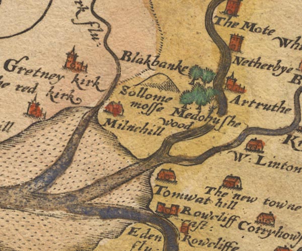 Sax9NY36.jpg item:- private collection : 2 Image © see bottom of page |
|
|
|
||
| evidence:- | old map:- Burghley 1590 (facsimile) |
|
| source data:- | Facsimile map, A Platt of the Opposete Border of Scotland to ye West Marches of England,
parts of Cumberland and Scotland including the Debateable Land, from a manuscript
drawn for William Cecil, Lord Burghley, about 1590, published by R B Armstrong, 1897. courtesy of the National Library of Scotland 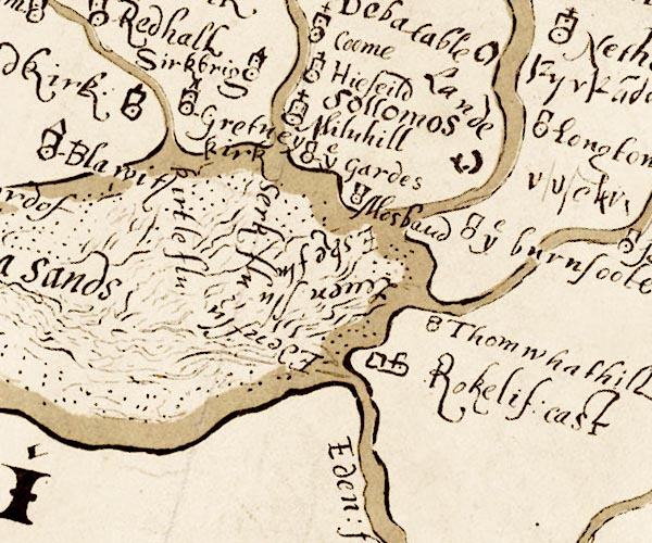 M048NY36.jpg river mouth item:- National Library of Scotland : MS6113 f.267 Image © National Library of Scotland |
|
|
|
||
| evidence:- | old map:- Bowen and Kitchin 1760 |
|
| source data:- | Map, hand coloured engraving, A New Map of the Counties of
Cumberland and Westmoreland Divided into their Respective Wards,
scale about 4 miles to 1 inch, by Emanuel Bowen and Thomas
Kitchin et al, published by T Bowles, Robert Sayer, and John
Bowles, London, 1760.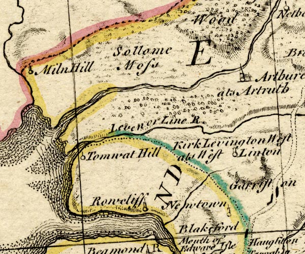 BO18NY36.jpg double line with stream lines, into the sea  BO18NY26.jpg river mouth, into the sea item:- Armitt Library : 2008.14.10 Image © see bottom of page |
|
|
|
||
 Lakes Guides menu.