 Old Cumbria Gazetteer
 |
 |
|
| geological site, Mungrisdale | ||
| site name:- | Caldew, River | |
| civil parish:- | Mungrisdale (formerly Cumberland) | |
| county:- | Cumbria | |
| locality type:- | geological site | |
| locality type:- | river | |
| coordinates:- | NY32923263 | |
| 1Km square:- | NY3232 | |
| 10Km square:- | NY33 | |
|
|
||
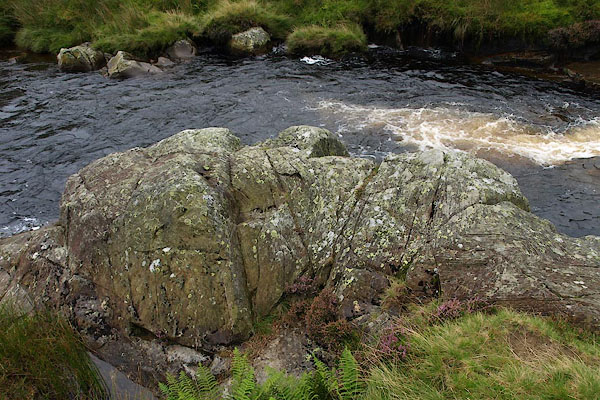 BPQ21.jpg (taken 24.8.2008) 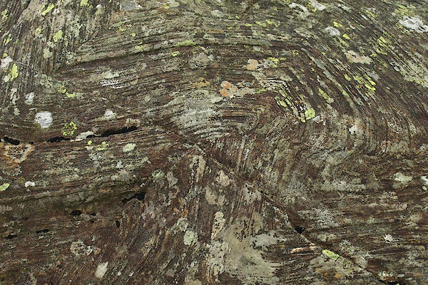 BPQ22.jpg Disharmonic folding, caused by local pressures of an intrusion - the Carrock Fell gabbro. (taken 24.8.2008) |
||
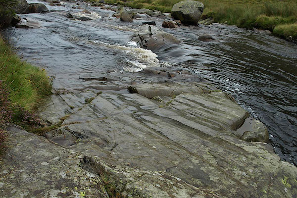
| Rocks in the River Caldew high up the Caldew valley above Mosedale. |
||
|
|
||
 BPQ23.jpg Striations, at on ice polishing, caused by glacial movement; these have been protected under peat and only 'recently' exposed. (taken 24.8.2008) 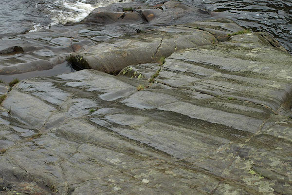 BPQ24.jpg Striations, at on ice polishing, caused by glacial movement; these have been protected under peat and only 'recently' exposed. (taken 24.8.2008) |
||
|
|
||
 Lakes Guides menu.