Old Cumbria Gazetteer
 |
 |
|
||
| Hogget Gill | ||||
| runs into:- |  Dovedale Beck Dovedale Beck |
|||
|
|
||||
| civil parish:- | Patterdale (formerly Westmorland) | |||
| county:- | Cumbria | |||
| locality type:- | river | |||
| 1Km square:- | NY3811 (etc) | |||
| 10Km square:- | NY31 | |||
|
|
||||
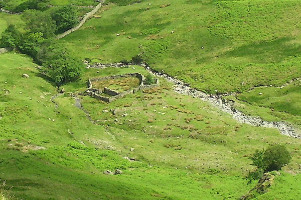
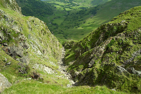 BPH57.jpg (taken 9.6.2008) 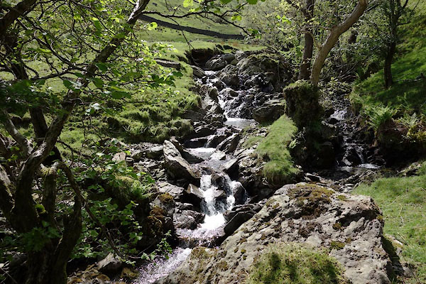 CAS37.jpg (taken 9.6.2008) |
||||
|
|
||||
| evidence:- | old map:- OS County Series (Wmd 19 7) placename:- Hogget Gill |
|||
| source data:- | Maps, County Series maps of Great Britain, scales 6 and 25
inches to 1 mile, published by the Ordnance Survey, Southampton,
Hampshire, from about 1863 to 1948. |
|||
|
|
||||
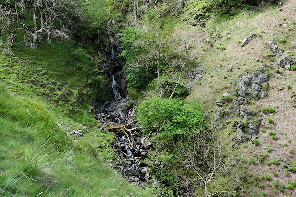 CAS47.jpg (taken 9.6.2008) 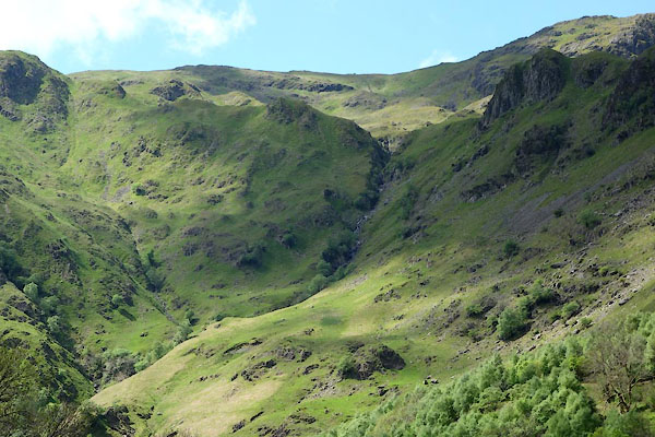 CAS48.jpg At the head of the dale. (taken 9.6.2008) |
||||
|
|
||||
| places:- |
|
|||
Lakes Guides menu.