Old Cumbria Gazetteer
 |
 |
|
||
| Hol Beck | ||||
| runs into:- |  Windermere lake Windermere lake |
|||
|
|
||||
| Holbeck | ||||
| civil parish:- | Lakes (formerly Westmorland) | |||
| county:- | Cumbria | |||
| locality type:- | river | |||
| 1Km square:- | NY3902 (etc) | |||
| 10Km square:- | NY30 | |||
|
|
||||
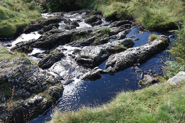
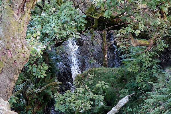 CDZ62.jpg Waterfall, (taken 22.9.2015) 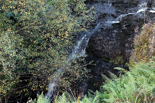 CDZ63.jpg Waterfall, (taken 22.9.2015) |
||||
|
|
||||
| evidence:- | old map:- OS County Series (Wmd 26 15) placename:- Holbeck |
|||
| source data:- | Maps, County Series maps of Great Britain, scales 6 and 25
inches to 1 mile, published by the Ordnance Survey, Southampton,
Hampshire, from about 1863 to 1948. |
|||
|
|
||||
| evidence:- | old map:- Ogilby 1675 (plate 96) |
|||
| source data:- | Road strip map, hand coloured engraving, the Road from Kendal to
Cockermouth, and the Road from Egremond to Carlisle, scale about
1 inch to 1 mile, by John Ogilby, London, 1675.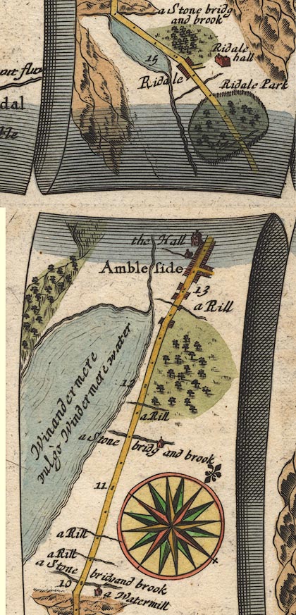 OG96m010.jpg In mile 11, Westmoreland. River crossed at:- "a Stone bridg and brook" no bridge drawn. item:- JandMN : 22 Image © see bottom of page |
|||
|
|
||||
| evidence:- | old map:- Jefferys 1770 (Wmd) |
|||
| source data:- | Map, 4 sheets, The County of Westmoreland, scale 1 inch to 1
mile, surveyed 1768, and engraved and published by Thomas
Jefferys, London, 1770.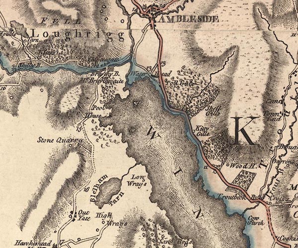 J5NY30SE.jpg single or double wiggly line; river item:- National Library of Scotland : EME.s.47 Image © National Library of Scotland |
|||
|
|
||||
| evidence:- | old map:- Clarke 1787 map (Windermere N) placename:- Hollow Beck |
|||
| source data:- | Map, A Map of the Northern Part of the Lake Winandermere and its
Environs, scale about 6.5 ins to 1 mile, by James Clarke,
engraved by Samuel John Neele, 352 Strand, published by James
Clarke, Penrith, Cumberland and in London etc, 1787.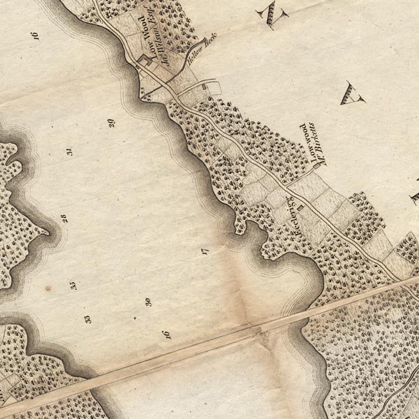 CLANY30V.jpg "Hollow Beck" item:- private collection : 10.10 Image © see bottom of page |
|||
|
|
||||
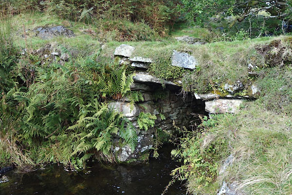
 CDZ61.jpg Waterfall, (taken 22.9.2015) 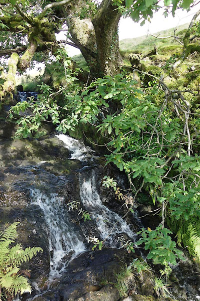 CDZ60.jpg Waterfall, (taken 22.9.2015) |
||||
|
|
||||
| places:- |
|
|||
|
||||
Lakes Guides menu.