 Old Cumbria Gazetteer
 |
 |
|
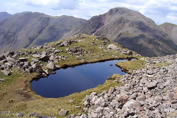
| Lambfoot Dub, Eskdale | ||
| Lambfoot Dub | ||
| civil parish:- | Eskdale (formerly Cumberland) | |
| county:- | Cumbria | |
| locality type:- | tarn | |
| coordinates:- | NY22070843 | |
| 1Km square:- | NY2208 | |
| 10Km square:- | NY20 | |
| altitude:- | 2240 feet | |
| altitude:- | 682m | |
|
|
||
 BPF49.jpg (taken 20.5.2008) |
||
|
|
||
| evidence:- | old map:- OS County Series (Cmd 74 12) placename:- Lambfoot Dub |
|
| source data:- | Maps, County Series maps of Great Britain, scales 6 and 25
inches to 1 mile, published by the Ordnance Survey, Southampton,
Hampshire, from about 1863 to 1948. |
|
|
|
||
 Lakes Guides menu.