 Old Cumbria Gazetteer
 |
 |
|
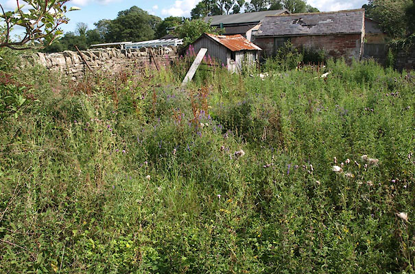
| meeting house, Bolton Low Houses | ||
| Bolton Low Houses Meeting House | ||
| locality:- | Bolton Low Houses | |
| civil parish:- | Boltons (formerly Cumberland) | |
| county:- | Cumbria | |
| locality type:- | meeting house | |
| locality type:- | quaker meeting | |
| locality type:- | burial ground | |
| locality type:- | quaker burial ground | |
| coordinates:- | NY23864416 | |
| 1Km square:- | NY2344 | |
| 10Km square:- | NY24 | |
| references:- | Butler 1978 |
|
|
|
||
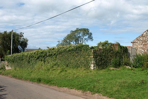 BVD87.jpg (taken 5.8.2011) 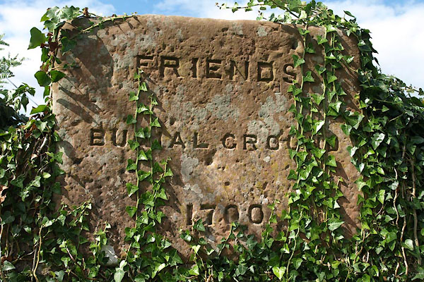 BVD88.jpg Plaque:- "FRIENDS / BURIAL GROUND / 1700" (taken 5.8.2011) |
||
|
|
||
| evidence:- | old map:- OS County Series (Cmd 37 1) |
|
| source data:- | Maps, County Series maps of Great Britain, scales 6 and 25
inches to 1 mile, published by the Ordnance Survey, Southampton,
Hampshire, from about 1863 to 1948. "Friends Meeting House" |
|
|
|
||
| evidence:- | presumably text:- placename:- Bolton Meeting House |
|
| source data:- | : : Quaker Administrative History "BOLTON, Cumb, after 1974 Cumbr ... NY238442" "1668-1866 ... Holm MM" "1873-1874 ... Holm MM" |
|
|
|
||
| evidence:- | old map:- Backhouse 1773 placename:- Bolton meeting |
|
| source data:- | Map, hand coloured engraving, Map of the Meetings belonging to
the Quarterly Meetings of Lancaster, Westmorland, Cumberland,
Northumberland, Durham and York, scale about 9 miles to 1 inch,
by James Backhouse, engraved by Thomas Kitchin, published by
James Backhouse, Darlington, Durham, 1773.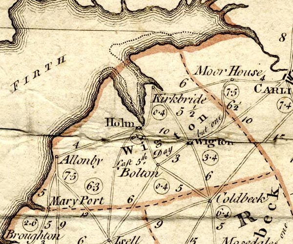 BKH2Wgtn.jpg labelled:- "Bolton / 0.4" meeting day Wednesday item:- private collection : 224 Image © see bottom of page |
|
|
|
||
| evidence:- | drawing:- Butler 1978 placename:- Bolton Low Houses Meeting House |
|
| source data:- | Bolton Low Houses Meeting House drawn by David Butler and published in Quaker Meeting
Houses of the Lake Counties by David M Butler, by the Friends Historical Society,
1978 courtesy of David Butler 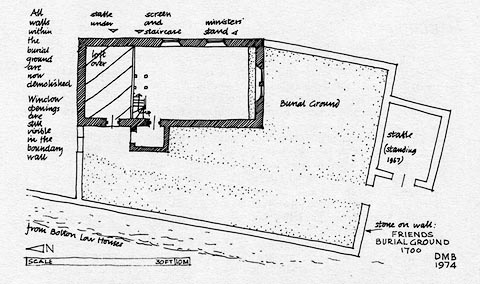 click to enlarge click to enlargePR1496.jpg item:- private collection : 377 Image © Friends Historical Society |
|
|
|
||
 BVD89.jpg (taken 5.8.2011) |
||
|
|
||
 Lakes Guides menu.