 Old Cumbria Gazetteer
 |
 |
|
| Sandwath Bridge, Kirkby Stephen | ||
| Sandwath Bridge | ||
| site name:- | Sandwath Sike | |
| locality:- | Sandwath | |
| civil parish:- | Kirkby Stephen (formerly Westmorland) | |
| county:- | Cumbria | |
| locality type:- | bridge | |
| coordinates:- | NY76510914 | |
| 1Km square:- | NY7609 | |
| 10Km square:- | NY70 | |
|
|
||
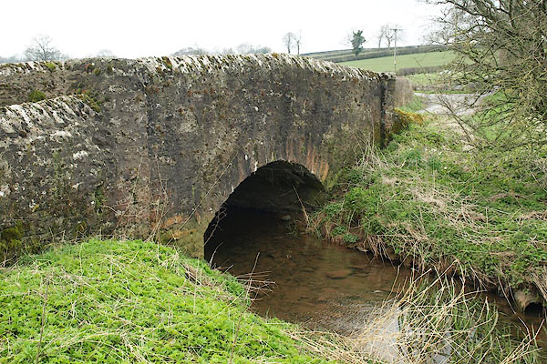 BPB22.jpg (taken 18.4.2008) 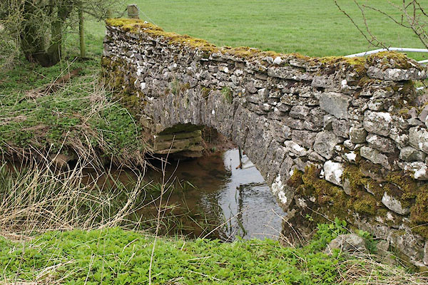 BPB23.jpg Stone wall parallel the bridge with a well made arch. (taken 18.4.2008) |
||
|
|
||
| evidence:- | old map:- OS County Series (Wmd 23 10) placename:- Sandwath Bridge |
|
| source data:- | Maps, County Series maps of Great Britain, scales 6 and 25
inches to 1 mile, published by the Ordnance Survey, Southampton,
Hampshire, from about 1863 to 1948. |
|
|
|
||
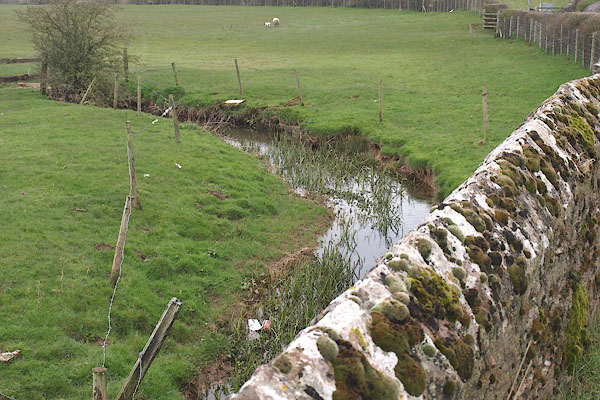 BPB24.jpg View of river. (taken 18.4.2008) |
||
|
|
||
 Lakes Guides menu.