 Old Cumbria Gazetteer
 |
 |
|
| Skew Gill, Nether Wasdale | ||
| Skew Gill | ||
| locality:- | Great End | |
| civil parish:- | Nether Wasdale (formerly Cumberland) | |
| county:- | Cumbria | |
| locality type:- | valley | |
| locality type:- | ravine | |
| coordinates:- | NY22100909 (etc) | |
| 1Km square:- | NY2209 | |
| 10Km square:- | NY20 | |
|
|
||
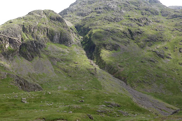 CAY93.jpg (taken 23.6.2014) |
||
|
|
||
| evidence:- | old map:- OS County Series (Cmd 74 12) placename:- Skew Gill |
|
| source data:- | Maps, County Series maps of Great Britain, scales 6 and 25
inches to 1 mile, published by the Ordnance Survey, Southampton,
Hampshire, from about 1863 to 1948. |
|
|
|
||
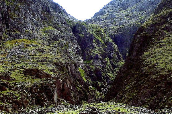 BPF43.jpg (taken 20.5.2008) 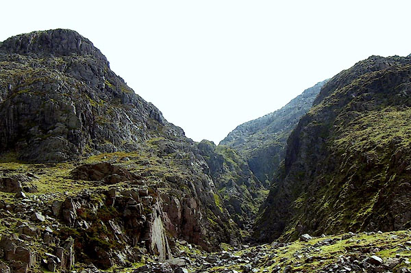 BPF44.jpg (taken 20.5.2008) |
||
|
|
||
 Lakes Guides menu.