 Old Cumbria Gazetteer
 |
 |
|
| Tills Hole beck | ||
| locality:- | Longsleddale | |
| civil parish:- | Longsleddale (formerly Westmorland) | |
| county:- | Cumbria | |
| locality type:- | river | |
| 1Km square:- | NY4805 | |
| 10Km square:- | NY40 | |
|
|
||
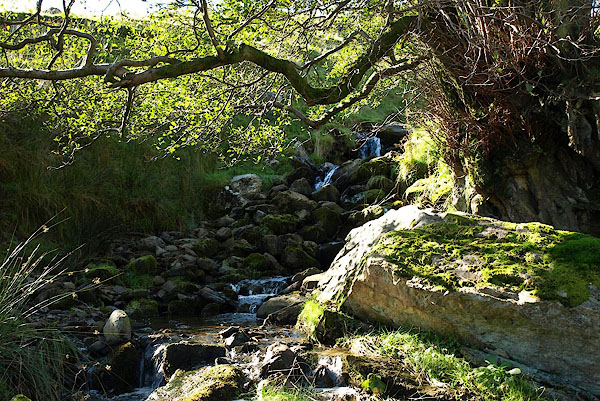 BPR97.jpg (taken 5.10.2008) |
||
|
|
||
| MN photo:- |
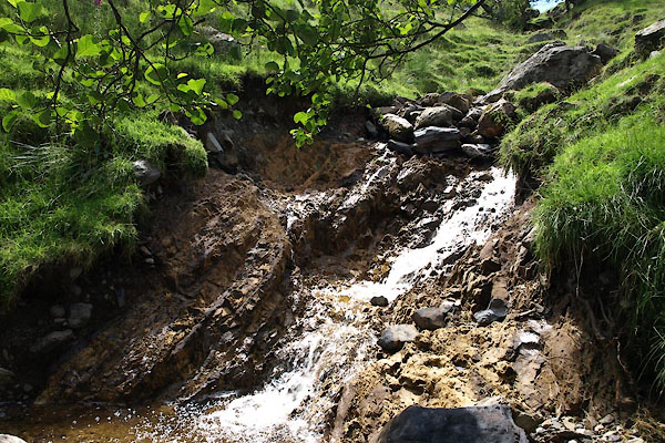
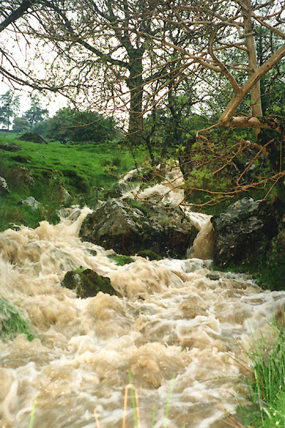
In a rain storm, Thursday 28 June 2012, 3.2 inches of rain fell during the day, mostly
between two hours from 11am to 1pm, peaking with 2.3 inches in the hour about noon.
|
|
| The beck had a number of new exposures of rocks. |
||
| The rock here appears to be weathered siltstone of the Brathay Formation. |
||
 BWU89.jpg Exposed rock (taken 11.7.2012) 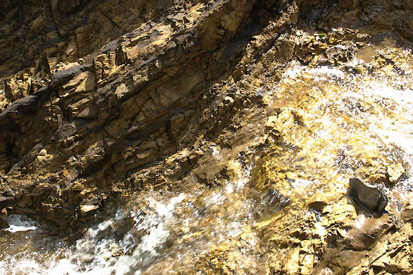 BWU90.jpg Exposed rock (taken 11.7.2012) 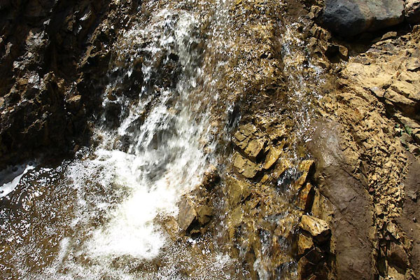 BWU91.jpg Exposed rock (taken 11.7.2012) 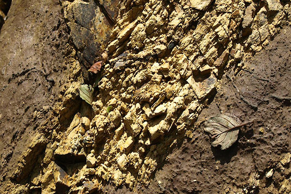 BWU92.jpg Exposed rock (taken 11.7.2012) |
||
| By the later visit, 29 July 2012, there is green stuff beginning to cover parts of
the rock. The raw scar will not be raw for long. |
||
|
|
||
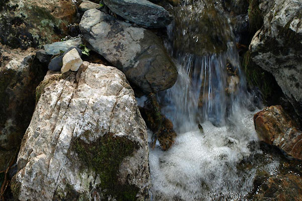 BWV06.jpg Waterfall, (taken 11.7.2012) 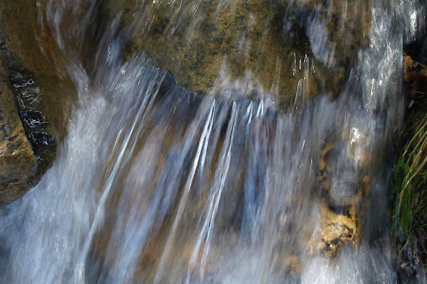 BWV07.jpg Waterfall, (taken 11.7.2012) |
||
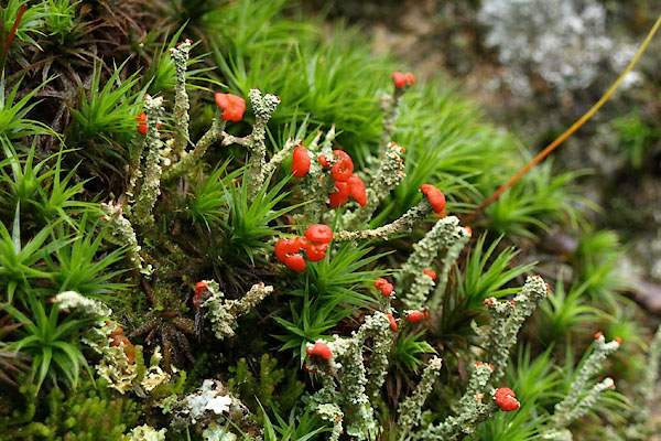 BWZ44.jpg Chladomya, on a rock by the stream. (taken 29.7.2012) |
||
|
|
||
 BXC63.jpg Summer 2002. (taken 2002) courtesy of Sylvia Fishwick |
||
|
|
||
 Lakes Guides menu.