Old Cumbria Gazetteer
 |
 |
|
||
| Blumer Beck | ||||
| runs into:- |  Derwent, River Derwent, River |
|||
|
|
||||
| civil parish:- | Blindcrake (formerly Cumberland) | |||
| county:- | Cumbria | |||
| locality type:- | river | |||
| 1Km square:- | NY1634 (etc) | |||
| 10Km square:- | NY13 | |||
|
|
||||
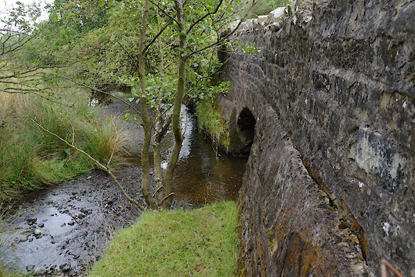
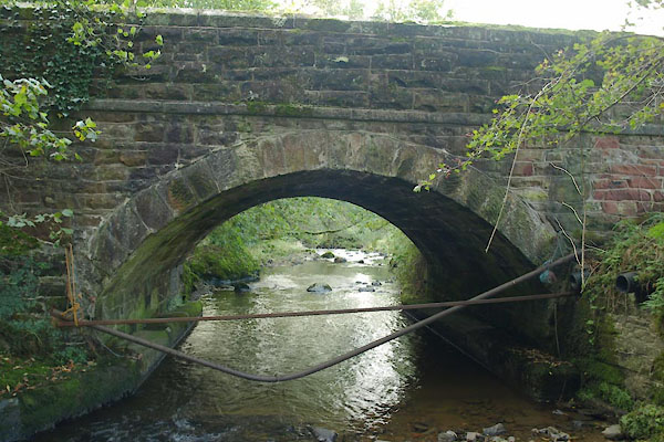
 BTP51.jpg At Blumer Bridge, (taken 5.10.2010) 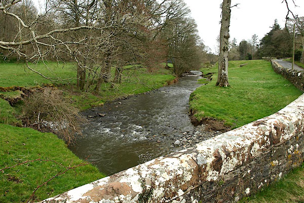 BQH49.jpg At the bridge in Isel, (taken 27.3.2009) |
||||
|
|
||||
| evidence:- | old map:- OS County Series (Cmd 46 10) placename:- Blumer Beck |
|||
| source data:- | Maps, County Series maps of Great Britain, scales 6 and 25
inches to 1 mile, published by the Ordnance Survey, Southampton,
Hampshire, from about 1863 to 1948. |
|||
|
|
||||
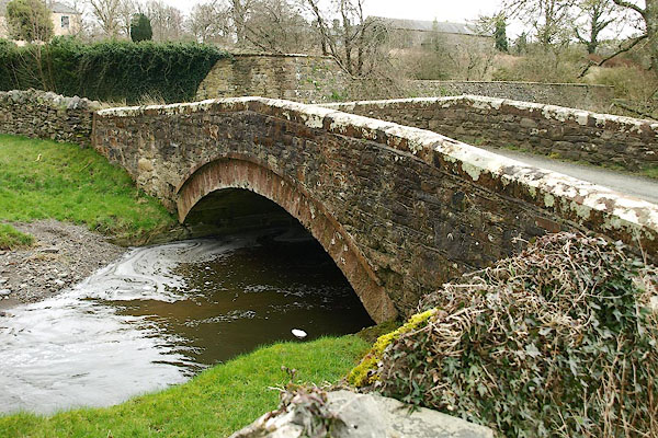
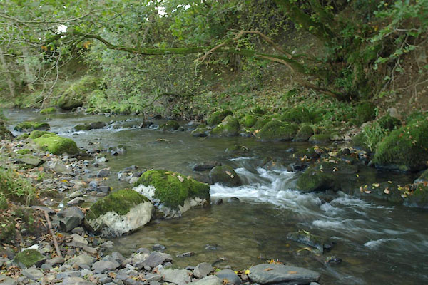
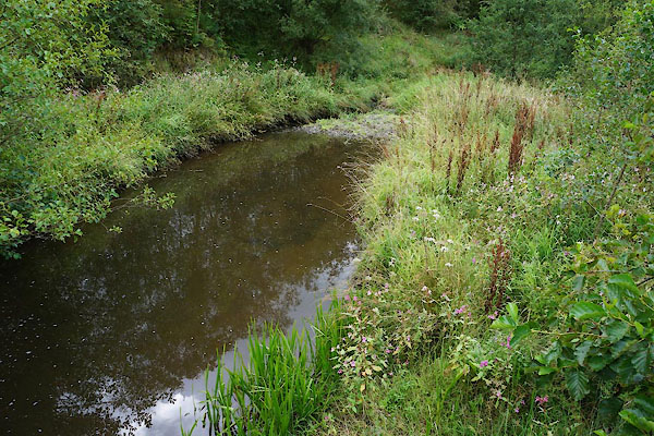 CBJ99.jpg At Beckgrains Bridge, notice the balsam. (taken 15..8.2014) 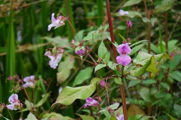 CBK01.jpg Himalayan balsam, Impatiens glandulifera (taken 15..8.2014) |
||||
|
|
||||
| places:- |
|
|||
|
||||
|
||||
|
||||
|
||||
|
||||
Lakes Guides menu.