 Old Cumbria Gazetteer
 |
 |
|
| Ellenhall Bridge, Gilcrux | ||
| Ellenhall Bridge | ||
| site name:- | Ellen, River | |
| locality:- | Ellenhall | |
| civil parish:- | Gilcrux (formerly Cumberland) | |
| civil parish:- | Oughterside and Allerby (formerly Cumberland) | |
| county:- | Cumbria | |
| locality type:- | bridge | |
| coordinates:- | NY11643908 | |
| 1Km square:- | NY1139 | |
| 10Km square:- | NY13 | |
|
|
||
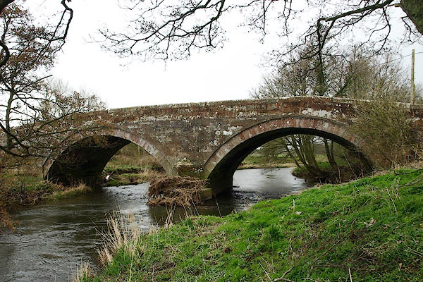 BQH93.jpg (taken 27.3.2009) 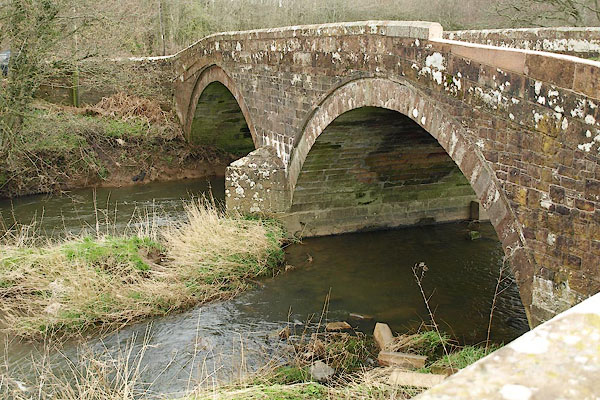 BQH94.jpg (taken 27.3.2009) |
||
|
|
||
| evidence:- | old map:- OS County Series (Cmd 35 16) placename:- Ellenhall Bridge |
|
| source data:- | Maps, County Series maps of Great Britain, scales 6 and 25
inches to 1 mile, published by the Ordnance Survey, Southampton,
Hampshire, from about 1863 to 1948. |
|
|
|
||
| evidence:- | old map:- Bell 1892 placename:- Ellen Hall Bridge |
|
| source data:- | Map, colour lithograph, Road Map of Cumberland, by George Joseph
Bell, scale about 2.5 miles to 1 inch, printed by Charles
Thurnam and Sons, Carlisle, Cumberland, 1892. BEL9NY13.jpg "ELLEN HALL" bridge symbol Road map of Cumberland showing County Bridges item:- Carlisle Library : Map 38 Image © Carlisle Library |
|
|
|
||
| evidence:- | database:- Listed Buildings 2010 placename:- Ellenhall Bridge |
|
| source data:- | courtesy of English Heritage "ELLENHALL BRIDGE / / / HOLME ST CUTHBERT / ALLERDALE / CUMBRIA / II / 411786 / NY1164839078" |
|
| source data:- | courtesy of English Heritage "Road bridge. Early C19. Red sandstone. 2 segmental arches on central pier with splayed cutwaters, under low parapet with saddleback coping. This bridge lies partly in Plumbland C.P." |
|
|
|
||
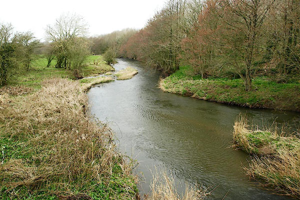 BQH95.jpg View of river. (taken 27.3.2009) 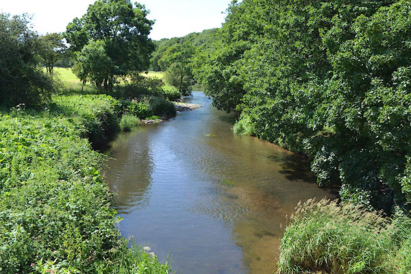 CGG01.jpg View of river. (taken 23.6.2017) 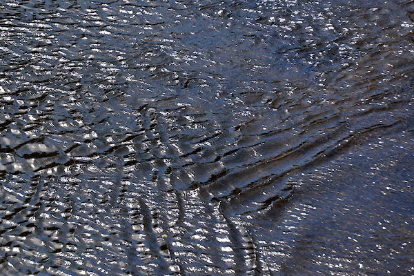 CGG02.jpg View of river. (taken 23.6.2017) |
||
|
|
||
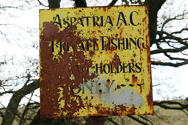 BQH96.jpg View of river. Sign near Ellenhall Bridge:- (taken 27.3.2009) |
||
|
|
||
 Lakes Guides menu.