 Old Cumbria Gazetteer
 |
 |
|
| bield, Longsleddale | ||
| locality:- | Sadgill | |
| civil parish:- | Longsleddale (formerly Westmorland) | |
| county:- | Cumbria | |
| locality type:- | bield | |
| locality type:- | pinfold (once) | |
| coordinates:- | NY48390576 | |
| 1Km square:- | NY4805 | |
| 10Km square:- | NY40 | |
|
|
||
 BQZ72.jpg (taken 7.7.2009) 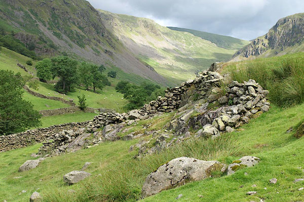 BQZ73.jpg (taken 7.7.2009) |
||
|
|
||
| evidence:- | old map:- KendalRO : WQ/R/I 61 |
|
| source data:- | : 1866: Map of Sadgill Common or High Fell in the Township of Longsleddale in the
parish of Kendal in the county of Westmorland::: inclosure map This site is a complete enclosure stretching to the field wall, labelled:- "Pinfold" |
|
|
|
||
| evidence:- | map:- OS Six Inch (1956) |
|
| source data:- | Map series, various editions with the national grid, scale about
6 inches to 1 mile, published by the Ordnance Survey,
Southampton, Hampshire, scale 1 to 10560 from 1950s to 1960s,
then 1 to 10000 from 1960s to 2000s, superseded by print on
demand from digital data.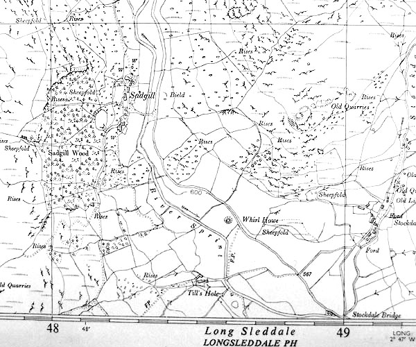 SINY4805.jpg "Bield" |
|
|
|
||
 Click to enlarge BVN61.jpg (taken 10.2011) |
||
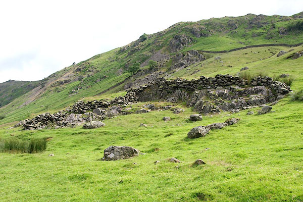
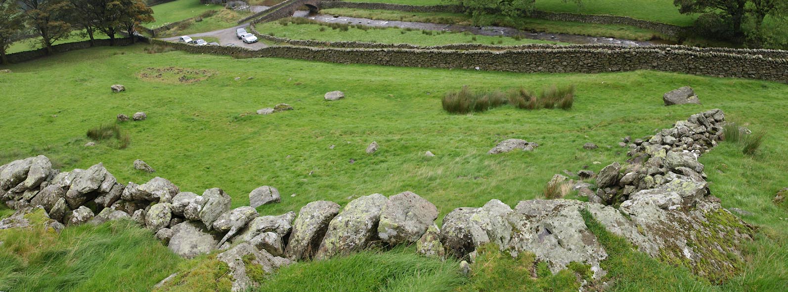
| The whole area below the remaining wall, down to the wall by the track, was a pinfold
on the 1866 map. This is a large area for a pinfold. |
||
|
|
||
|
|
||
| The present farmer doesn't think this stone walling is of much use, except to stop
sheep falling off the edge of the rocks when being gathered. The term 'bield' was
not one he used. |
||
|
|
||
 Lakes Guides menu.