Old Cumbria Gazetteer
 |
 |
|
||
| Braithwaite Beck | ||||
| runs into:- |  Ive, River Ive, River |
|||
|
|
||||
| civil parish:- | Hesket (formerly Cumberland) | |||
| civil parish:- | Skelton (formerly Cumberland) | |||
| county:- | Cumbria | |||
| locality type:- | river | |||
| locality type:- | parish boundary | |||
| locality type:- | boundary | |||
| 1Km square:- | NY4242 (etc) | |||
| 10Km square:- | NY44 | |||
|
|
||||
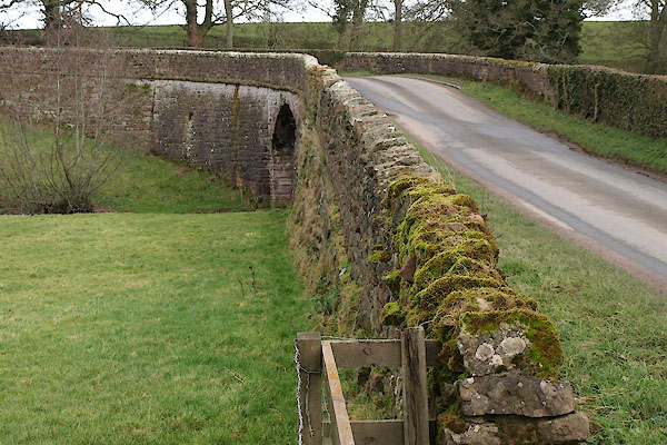
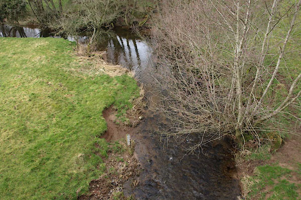 BUC13.jpg At Braithwaite Bridge, (taken 25.2.2011) 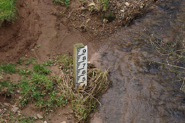 BUC14.jpg Depth gauge; and note the sandstone soil. (taken 25.2.2011) |
||||
|
|
||||
| evidence:- | old map:- OS County Series (Cmd 39 5) placename:- Braithwaite Beck |
|||
| source data:- | Maps, County Series maps of Great Britain, scales 6 and 25
inches to 1 mile, published by the Ordnance Survey, Southampton,
Hampshire, from about 1863 to 1948. |
|||
|
|
||||
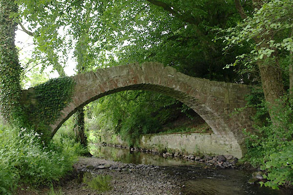
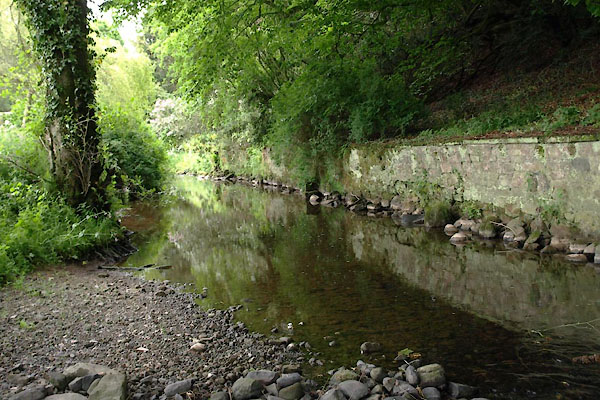 BWR84.jpg At Wharton Bridge, (taken 8.6.2012) |
||||
|
|
||||
| places:- |
|
|||
|
||||
|
||||
Lakes Guides menu.