 Old Cumbria Gazetteer
 |
 |
|
| High Wath, Kinniside Common | ||
| High Wath | ||
| site name:- | Calder, River | |
| locality:- | Kinniside Common (?) | |
| civil parish:- | Ennerdale and Kinniside (formerly Cumberland) | |
| county:- | Cumbria | |
| locality type:- | ford | |
| locality type:- | footbridge | |
| locality type:- | bridge | |
| coordinates:- | NY06421014 | |
| 1Km square:- | NY0610 | |
| 10Km square:- | NY01 | |
|
|
||
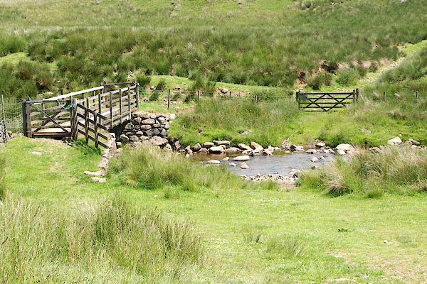 BQW57.jpg (taken 25.6.2009) 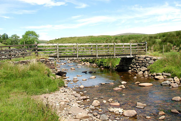 BQW58.jpg (taken 25.6.2009) |
||
|
|
||
| evidence:- | old map:- OS County Series (Cmd 73) placename:- High Wath |
|
| source data:- | Maps, County Series maps of Great Britain, scales 6 and 25
inches to 1 mile, published by the Ordnance Survey, Southampton,
Hampshire, from about 1863 to 1948. "High Wath" |
|
|
|
||
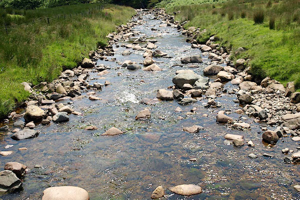 BQW60.jpg View of river. On Kinniside Common, (taken 25.6.2009) |
||
|
|
||
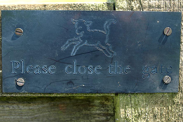 BQW59.jpg Warning sign with a leaping lamb:- "Please close the gate" (taken 25.6.2009) |
||
|
|
||
 Lakes Guides menu.