 Old Cumbria Gazetteer
 |
 |
|
| Howesteadbrow, Boredale | ||
| Howesteadbrow | ||
| Howsteadbrow | ||
| locality:- | Boredale | |
| civil parish:- | Martindale (formerly Westmorland) | |
| county:- | Cumbria | |
| locality type:- | buildings | |
| coordinates:- | NY42781857 | |
| 1Km square:- | NY4218 | |
| 10Km square:- | NY41 | |
|
|
||
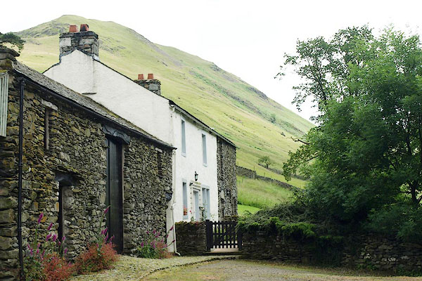 BQZ22.jpg (taken 6.7.2009) 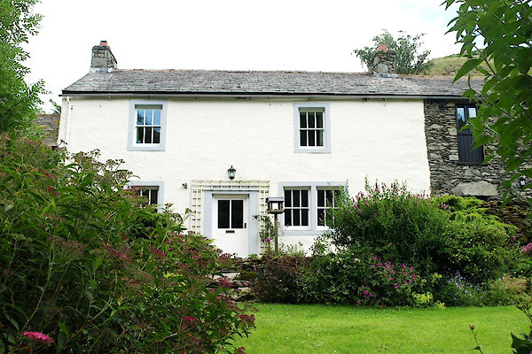 BQZ23.jpg (taken 6.7.2009) |
||
|
|
||
| evidence:- | old map:- OS County Series (Wmd 12 8) placename:- Howsteadbrow |
|
| source data:- | Maps, County Series maps of Great Britain, scales 6 and 25
inches to 1 mile, published by the Ordnance Survey, Southampton,
Hampshire, from about 1863 to 1948. |
|
|
|
||
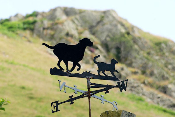 BQZ24.jpg Weathervane, dog and cat. (taken 6.7.2009) |
||
|
|
||
 Lakes Guides menu.