 Old Cumbria Gazetteer
 |
 |
|
| Pinfold Hill, Crosthwaite and Lyth | ||
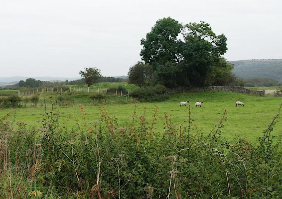
| Pinfold Hill | ||
| locality:- | Lyth Valley | |
| civil parish:- | Crosthwaite and Lyth (formerly Westmorland) | |
| county:- | Cumbria | |
| locality type:- | hill | |
| locality type:- | pinfold (site) | |
| coordinates:- | SD46248831 (etc) | |
| 1Km square:- | SD4688 | |
| 10Km square:- | SD48 | |
|
|
||
 BRL20.jpg (taken 18.9.2009) |
||
|
|
||
| evidence:- | old map:- OS County Series (Wmd 42 2) placename:- Pinfold Hill |
|
| source data:- | Maps, County Series maps of Great Britain, scales 6 and 25
inches to 1 mile, published by the Ordnance Survey, Southampton,
Hampshire, from about 1863 to 1948. |
|
|
|
||
| hearsay:- |
Although there are no clear signs, this are the remains of a hedged pinfold. |
|
|
|
||
 Lakes Guides menu.