 Old Cumbria Gazetteer
 |
 |
|
| Aisgill Bridge, Mallerstang | ||
| Aisgill Bridge | ||
| site name:- | Ais Gill | |
| locality:- | Mallerstang | |
| civil parish:- | Mallerstang (formerly Westmorland) | |
| county:- | Cumbria | |
| locality type:- | bridge | |
| coordinates:- | SD77409762 | |
| 1Km square:- | SD7797 | |
| 10Km square:- | SD79 | |
|
|
||
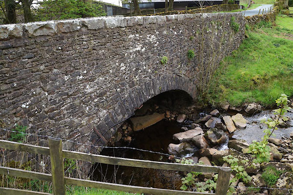 CDC21.jpg (taken 26.5.2015) |
||
|
|
||
| evidence:- | old map:- OS County Series (Wmd 36) placename:- Aisgill Bridge |
|
| source data:- | Maps, County Series maps of Great Britain, scales 6 and 25
inches to 1 mile, published by the Ordnance Survey, Southampton,
Hampshire, from about 1863 to 1948. "Aisgill Bridge" |
|
|
|
||
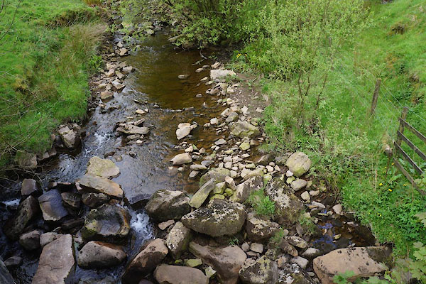 CDC24.jpg View of river. (taken 26.5.2015) |
||
|
|
||
| MN photo:- |
The bridge parapet is used as a molecatcher's gibbet. |
|
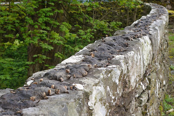 CDC22.jpg Dead moles. (taken 26.5.2015) 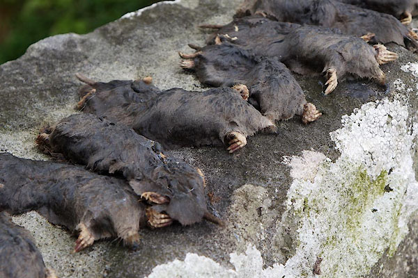 CDC23.jpg Dead moles. (taken 26.5.2015) |
||
|
|
||
 Lakes Guides menu.