 Old Cumbria Gazetteer
 |
 |
|
| Beckhead Tarn, Ennerdale and Kinniside | ||
| Beckhead Tarn | ||
| Beck Head Tarn | ||
| locality:- | Beck Head | |
| civil parish:- | Ennerdale and Kinniside (formerly Cumberland) | |
| civil parish:- | Nether Wasdale (formerly Cumberland) | |
| county:- | Cumbria | |
| locality type:- | tarn | |
| coordinates:- | NY20521069 | |
| coordinates:- | NY20601065 | |
| 1Km square:- | NY2010 | |
| 10Km square:- | NY21 | |
| altitude:- | 2044 feet | |
| altitude:- | 623m | |
|
|
||
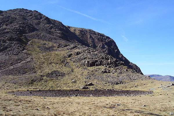 BNM74.jpg Dry. (taken 4.4.2007) 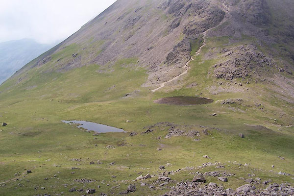 BUV30.jpg On the right. (taken 27.6.2011) |
||
|
|
||
| evidence:- | old map:- OS County Series (Cmd 74) placename:- Beckhead Tarn |
|
| source data:- | Maps, County Series maps of Great Britain, scales 6 and 25
inches to 1 mile, published by the Ordnance Survey, Southampton,
Hampshire, from about 1863 to 1948. "Beckhead Tarn" |
|
|
|
||
| notes:- |
The more westerly tarn is named Beckhead Tarn, and often dries out. The more easterly
tarn is unnamed? |
|
|
|
||
 Lakes Guides menu.