 Old Cumbria Gazetteer
 |
 |
|
| Burney Tarn, Kirkby Ireleth | ||
| Burney Tarn | ||
| civil parish:- | Kirkby Ireleth (formerly Lancashire) | |
| county:- | Cumbria | |
| locality type:- | tarn | |
| coordinates:- | SD25448595 (etc) | |
| 1Km square:- | SD2585 | |
| 10Km square:- | SD28 | |
| altitude:- | 489 feet | |
| altitude:- | 149m | |
|
|
||
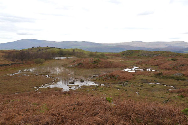 CGT07.jpg (taken 18.10.2017) |
||
|
|
||
| evidence:- | old map:- OS County Series (Lan 7 14) placename:- Burney Tarn |
|
| source data:- | Maps, County Series maps of Great Britain, scales 6 and 25
inches to 1 mile, published by the Ordnance Survey, Southampton,
Hampshire, from about 1863 to 1948. |
|
|
|
||
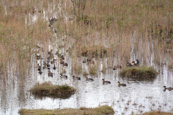 CGT08.jpg Mallard. (taken 18.10.2017) 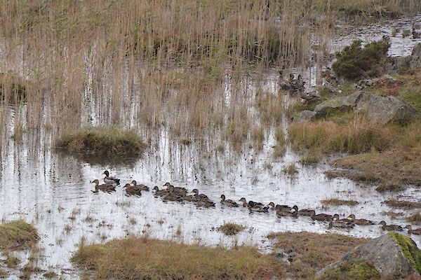 CGT09.jpg Mallard. (taken 18.10.2017) |
||
|
|
||
 Lakes Guides menu.