

 Rothay, River
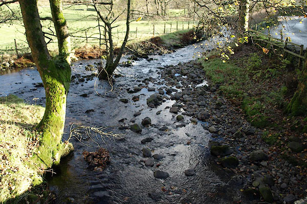
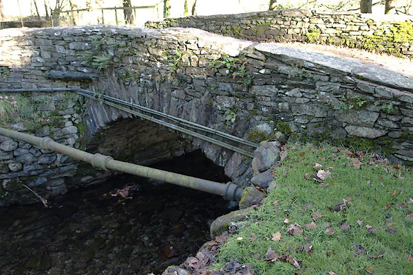
BRV19.jpg At the bridge,
running into the Rothay.
(taken 11.11.2009)
placename:- Green Burn
placename:- Greenburn Beck
 click to enlarge
PR1927.jpg
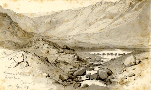
"Morianes at the head of / Greenburn / Grasmere / WH. July 1871."
"Moraines / Greenburn. Grasmere / Wm. Bockbank. [FGS] / 22"
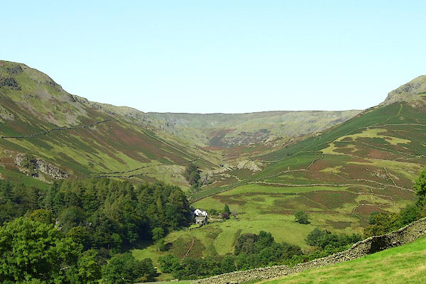
"Greenburn beck runs down to near Dunmail raise, between Helm Crag & Steel Fell / to the right of Steel Fell. / to the left the ridge separating it from Easedale being part of Helm Crag / at the head of the valley is Whitestones whence several vallies radiate at / the head of Borrowdale / There are here several lines of moraines & and there has evidently been / a large tarn, formed by a moraine at its foot, now broken through / leaving a perfectly flat [ ] valley beyond & peat is worked / from it [at pleasure.]"
item:- Armitt Library : 1959.68.22
Image © see bottom of page
 |
NY33180958 bridge, Lakes (Lakes) |
 |
NY31681058 Greenburn Bottom (Lakes) |
