 Old Cumbria Gazetteer
 |
 |
|
| Laced Well, Hutton | ||
| Laced Well | ||
| locality:- | Hutton | |
| civil parish:- | Hutton (formerly Cumberland) | |
| county:- | Cumbria | |
| locality type:- | spring | |
| coordinates:- | NY43042678 | |
| 1Km square:- | NY4326 | |
| 10Km square:- | NY42 | |
|
|
||
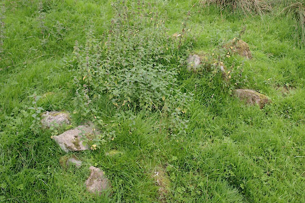 BZF71.jpg (taken 4.9.2013) |
||
|
|
||
| evidence:- | old map:- OS County Series (Cmd 58) placename:- Laced Well |
|
| source data:- | Maps, County Series maps of Great Britain, scales 6 and 25
inches to 1 mile, published by the Ordnance Survey, Southampton,
Hampshire, from about 1863 to 1948. "Laced Well" |
|
|
|
||
 Lakes Guides menu.