 Old Cumbria Gazetteer
 |
 |
|
| Raise Howe, Crosby Ravensworth | ||
| Raise Howe | ||
| locality:- | Bank Moor | |
| civil parish:- | Crosby Ravensworth (formerly Westmorland) | |
| county:- | Cumbria | |
| locality type:- | tumulus | |
| coordinates:- | NY63751302 | |
| 1Km square:- | NY6313 | |
| 10Km square:- | NY61 | |
|
|
||
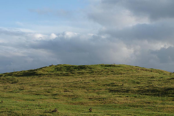 BRX31.jpg (taken 20.11.2009) |
||
|
|
||
| evidence:- | old map:- OS County Series (Wmd 22 1) placename:- Raise How |
|
| source data:- | Maps, County Series maps of Great Britain, scales 6 and 25
inches to 1 mile, published by the Ordnance Survey, Southampton,
Hampshire, from about 1863 to 1948. "Raise Howe (Tumulus)" |
|
|
|
||
 Lakes Guides menu.