 Old Cumbria Gazetteer
 |
 |
|
| Rogerhowe Quarry, Tebay | ||
| Rogerhowe Quarry | ||
| locality:- | Roger Howe | |
| civil parish:- | Tebay (formerly Westmorland) | |
| county:- | Cumbria | |
| locality type:- | quarry | |
| coordinates:- | NY61390304 | |
| 1Km square:- | NY6103 | |
| 10Km square:- | NY60 | |
| references:- | OS County Series |
|
|
|
||
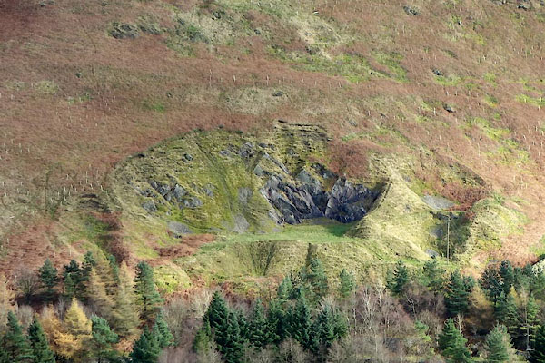 CGV74.jpg (taken 2.11.2017) |
||
|
|
||
| evidence:- | old map:- OS County Series (Wmd 28 12) placename:- Rogerhowe Quarry |
|
| source data:- | Maps, County Series maps of Great Britain, scales 6 and 25
inches to 1 mile, published by the Ordnance Survey, Southampton,
Hampshire, from about 1863 to 1948. |
|
|
|
||
 Lakes Guides menu.