 Old Cumbria Gazetteer
 |
 |
|
| Rosthwaite Bridge, Cark | ||
| Rosthwaite Bridge | ||
| site name:- | Eea, River | |
| locality:- | Cark | |
| civil parish:- | Lower Holker (formerly Lancashire) | |
| county:- | Cumbria | |
| locality type:- | bridge | |
| coordinates:- | SD36557671 | |
| 1Km square:- | SD3676 | |
| 10Km square:- | SD37 | |
|
|
||
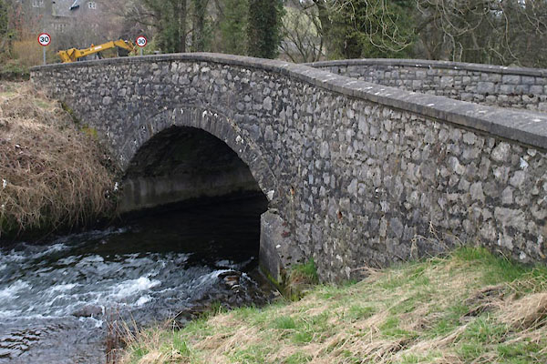 BUE67.jpg (taken 4.3.2011) |
||
|
|
||
| evidence:- | old map:- OS County Series (Lan 17 6) placename:- Rosthwaite Bridge |
|
| source data:- | Maps, County Series maps of Great Britain, scales 6 and 25
inches to 1 mile, published by the Ordnance Survey, Southampton,
Hampshire, from about 1863 to 1948. "Rosthwaite Bridge" |
|
|
|
||
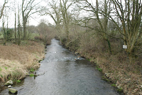 BUE68.jpg View of river. (taken 4.3.2011) |
||
|
|
||
 Lakes Guides menu.