 Old Cumbria Gazetteer
 |
 |
|
| school, Roadhead | ||
| Roadhead School | ||
| locality:- | Roadhead (area) | |
| civil parish:- | Bewcastle (formerly Cumberland) | |
| county:- | Cumbria | |
| locality type:- | buildings | |
| locality type:- | school (ex) | |
| coordinates:- | NY51487508 | |
| 1Km square:- | NY5175 | |
| 10Km square:- | NY57 | |
| references:- | OS County Series |
|
|
|
||
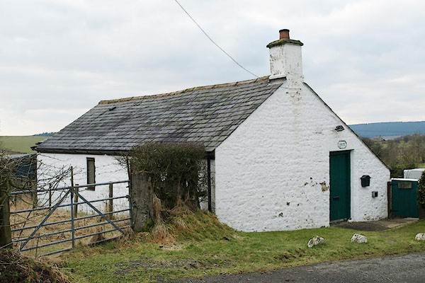 BSE66.jpg (taken 19.2.2010) 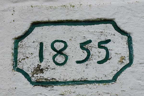 BSE67.jpg Date:- "1855" (taken 19.2.2010) |
||
|
|
||
| evidence:- | old map:- OS County Series (Cmd 7) |
|
| source data:- | Maps, County Series maps of Great Britain, scales 6 and 25
inches to 1 mile, published by the Ordnance Survey, Southampton,
Hampshire, from about 1863 to 1948. "School" |
|
|
|
||
| hearsay:- |
Now called The Clouds (?). It was a mission hall before becoming a private house. |
|
|
|
||
 Lakes Guides menu.