 Old Cumbria Gazetteer
 |
 |
|
| Spannel Beck Bridge, Cartmel Fell | ||
| Spannel Beck Bridge | ||
| site name:- | Spannel Beck | |
| locality:- | Gateside | |
| civil parish:- | Cartmel Fell (formerly Lancashire) | |
| county:- | Cumbria | |
| locality type:- | bridge | |
| coordinates:- | SD41168716 | |
| 1Km square:- | SD4187 | |
| 10Km square:- | SD48 | |
|
|
||
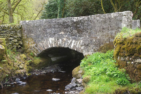 CFZ08.jpg (taken 21.4.2017) |
||
|
|
||
| evidence:- | old map:- OS County Series (Lan 8 12) placename:- Spannel Beck Bridge |
|
| source data:- | Maps, County Series maps of Great Britain, scales 6 and 25
inches to 1 mile, published by the Ordnance Survey, Southampton,
Hampshire, from about 1863 to 1948. |
|
|
|
||
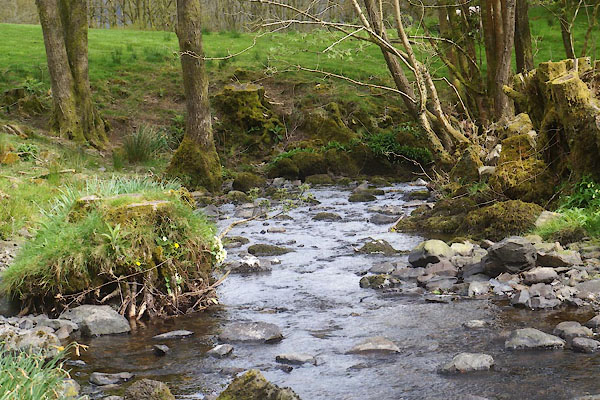 CFZ09.jpg View of river. (taken 21.4.2017) |
||
|
|
||
 Lakes Guides menu.