 Old Cumbria Gazetteer
 |
 |
|
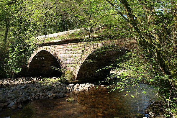
| Stakes Bridge, St Bridget Beckermet | ||
| Stakes Bridge | ||
| site name:- | Calder, River | |
| civil parish:- | St Bridget Beckermet (formerly Cumberland) | |
| county:- | Cumbria | |
| locality type:- | bridge | |
| coordinates:- | NY05610677 | |
| 1Km square:- | NY0506 | |
| 10Km square:- | NY00 | |
|
|
||
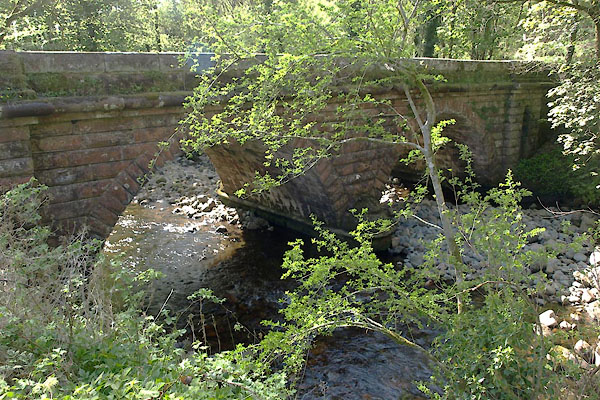 BUK61.jpg (taken 27.4.2011) 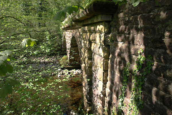 BUK63.jpg (taken 27.4.2011) |
||
|
|
||
| evidence:- | old map:- OS County Series (Cmd 73 13) placename:- Stakes Bridge |
|
| source data:- | Maps, County Series maps of Great Britain, scales 6 and 25
inches to 1 mile, published by the Ordnance Survey, Southampton,
Hampshire, from about 1863 to 1948. |
|
|
|
||
| evidence:- | old map:- Bell 1892 placename:- Stakes Bridge |
|
| source data:- | Map, colour lithograph, Road Map of Cumberland, by George Joseph
Bell, scale about 2.5 miles to 1 inch, printed by Charles
Thurnam and Sons, Carlisle, Cumberland, 1892.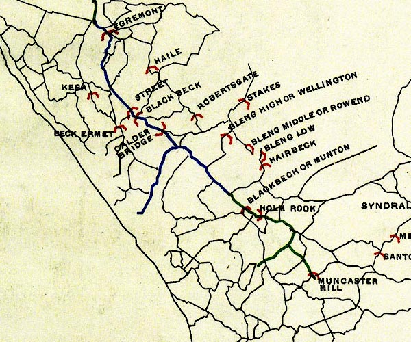 BEL9NY00.jpg "STAKES" bridge symbol Road map of Cumberland showing County Bridges item:- Carlisle Library : Map 38 Image © Carlisle Library |
|
|
|
||
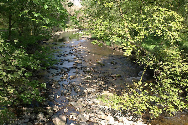 BUK65.jpg View of river. (taken 27.4.2011) |
||
|
|
||
 BUK62.jpg (taken 27.4.2011) 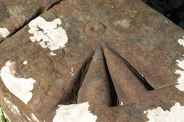 BUK64.jpg Pivot bench mark. (taken 27.4.2011) |
||
|
|
||
 Lakes Guides menu.