 Old Cumbria Gazetteer
 |
 |
|
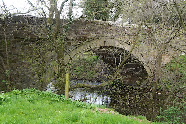
| Thrangholm Bridge, Dalston | ||
| Thrangholm Bridge | ||
| site name:- | Roe, River | |
| civil parish:- | Dalston (formerly Cumberland) | |
| county:- | Cumbria | |
| locality type:- | bridge | |
| coordinates:- | NY38574601 | |
| 1Km square:- | NY3846 | |
| 10Km square:- | NY34 | |
|
|
||
 CEX62.jpg (taken 22.4.2016) 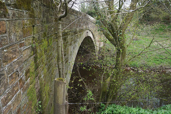 CEX65.jpg (taken 22.4.2016) |
||
|
|
||
| evidence:- | old map:- OS County Series (Cmd 30) placename:- Thrangholme Bridge |
|
| source data:- | Maps, County Series maps of Great Britain, scales 6 and 25
inches to 1 mile, published by the Ordnance Survey, Southampton,
Hampshire, from about 1863 to 1948. "Thrangholme Br." |
|
|
|
||
| evidence:- | database:- Listed Buildings 2010 placename:- Thrangholm Bridge |
|
| source data:- | courtesy of English Heritage "THRANGHOLM BRIDGE NY 385460 / / / DALSTON / CARLISLE / CUMBRIA / II / 78292 / NY3850046000" |
|
| source data:- | courtesy of English Heritage "Road Bridge. Probably mid C18; inscribed on parapet stone WILLIAM STALKER HEAD ....(remainder illegible); parapet rebuilt in late C19. Coursed red sandstone. Single span segmental arch on battered abutments under solid parapet." |
|
|
|
||
 Lakes Guides menu.