Old Cumbria Gazetteer
 |
 |
|
||
| Dalebanks Beck | ||||
| runs into:- |  Lyvennet Beck Lyvennet Beck |
|||
|
|
||||
| civil parish:- | Crosby Ravensworth (formerly Westmorland) | |||
| county:- | Cumbria | |||
| locality type:- | river | |||
| 1Km square:- | NY6114 (etc) | |||
| 10Km square:- | NY61 | |||
|
|
||||
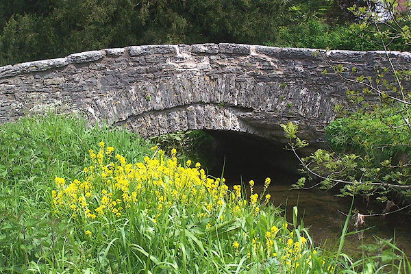
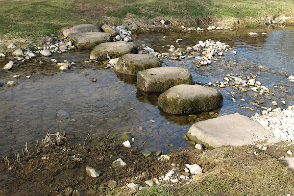
 CDJ01.jpg At Crosby Ravensworth. (taken 19.6.2015) 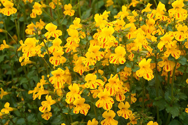 CDJ02.jpg At Crosby Ravensworth; monkey flower, Mimulus guttatus - garden escape. (taken 19.6.2015) |
||||
|
|
||||
| evidence:- | old map:- OS County Series (Wmd 14 16) placename:- Dalebanks Beck |
|||
| source data:- | Maps, County Series maps of Great Britain, scales 6 and 25
inches to 1 mile, published by the Ordnance Survey, Southampton,
Hampshire, from about 1863 to 1948. |
|||
|
|
||||
| evidence:- | old map:- Jefferys 1770 (Wmd) |
|||
| source data:- | Map, 4 sheets, The County of Westmoreland, scale 1 inch to 1
mile, surveyed 1768, and engraved and published by Thomas
Jefferys, London, 1770.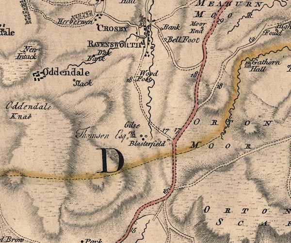 J5NY61SW.jpg single or double wiggly line; river Crosby R item:- National Library of Scotland : EME.s.47 Image © National Library of Scotland |
|||
|
|
||||
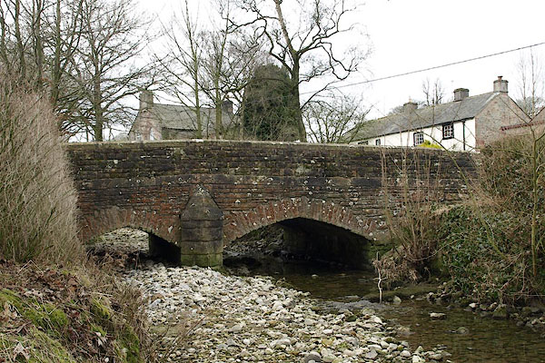
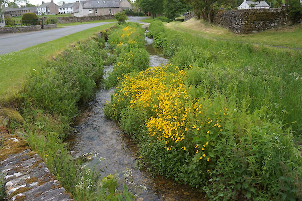
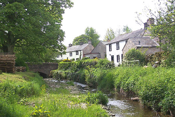 BME56.jpg At Crosby Ravensworth. (taken 30.5.2006) |
||||
|
|
||||
| places:- |
|
|||
|
||||
|
||||
|
||||
|
||||
Lakes Guides menu.