 Old Cumbria Gazetteer
 |
 |
|
| Drove Inn, Stapleton | ||
| Drove Inn | ||
| civil parish:- | Stapleton (formerly Cumberland) | |
| county:- | Cumbria | |
| locality type:- | inn | |
| coordinates:- | NY50227208 | |
| 1Km square:- | NY5072 | |
| 10Km square:- | NY57 | |
|
|
||
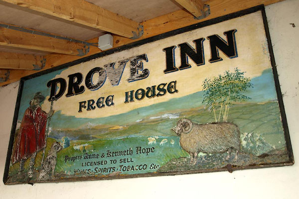 BSE72.jpg Old innsign, as a free house, tucked under a canopy. (taken 19.2.2010) 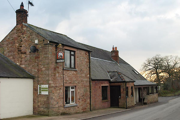 BSE70.jpg (taken 19.2.2010) |
||
|
|
||
| evidence:- | old map:- OS County Series (Cmd 7 11) placename:- Flush House placename:- Drovers Inn |
|
| source data:- | Maps, County Series maps of Great Britain, scales 6 and 25
inches to 1 mile, published by the Ordnance Survey, Southampton,
Hampshire, from about 1863 to 1948. "Flush House (Drovers Inn)" |
|
|
|
||
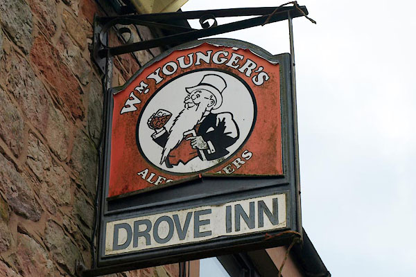 BSE71.jpg Brewer's innsign, William Younger's ales and beers (taken 19.2.2010) |
||
|
|
||
 Lakes Guides menu.