 Old Cumbria Gazetteer
 |
 |
|
| Firend School, Kirklinton Middle | ||
| Firend School | ||
| Kirklinton School | ||
| locality:- | Firend | |
| civil parish:- | Kirklinton Middle (formerly Cumberland) | |
| county:- | Cumbria | |
| locality type:- | school | |
| coordinates:- | NY42846564 | |
| 1Km square:- | NY4265 | |
| 10Km square:- | NY46 | |
| references:- | OS County Series |
|
|
|
||
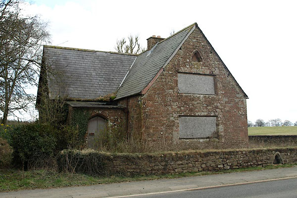 BSK67.jpg (taken 2.4.2010) |
||
|
|
||
| evidence:- | old map:- OS County Series (Cmd 10 12) placename:- Firend School |
|
| source data:- | Maps, County Series maps of Great Britain, scales 6 and 25
inches to 1 mile, published by the Ordnance Survey, Southampton,
Hampshire, from about 1863 to 1948. "Firend School (Endowed)" |
|
|
|
||
| notes:- |
Built at the expence of Joseph Dacre, Kirklinton Hall, who also gave the site, late
19th century. |
|
|
|
||
 Lakes Guides menu.