 Old Cumbria Gazetteer
 |
 |
|
| pinfold, Crook | ||
| Crook Pinfold | ||
| locality:- | Crook | |
| civil parish:- | Crook (formerly Westmorland) | |
| county:- | Cumbria | |
| locality type:- | pinfold | |
| coordinates:- | SD46429511 (guess) | |
| 1Km square:- | SD4695 | |
| 10Km square:- | SD49 | |
| references:- | OS County Series |
|
|
|
||
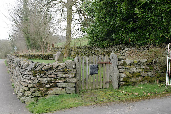 BSL78.jpg (taken 9.4.2010) 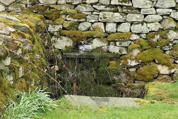 BSL79.jpg Water supply in the corner. (taken 9.4.2010) |
||
|
|
||
| evidence:- | old map:- OS County Series (Wmd 33 14) placename:- |
|
| source data:- | Maps, County Series maps of Great Britain, scales 6 and 25
inches to 1 mile, published by the Ordnance Survey, Southampton,
Hampshire, from about 1863 to 1948. "Pinfold" |
|
|
|
||
 Lakes Guides menu.