 Old Cumbria Gazetteer
 |
 |
|
| Brewery House, Caldbeck | ||
| Brewery House | ||
| Rectory | ||
| locality:- | Caldbeck | |
| civil parish:- | Caldbeck (formerly Cumberland) | |
| county:- | Cumbria | |
| locality type:- | buildings | |
| coordinates:- | NY32233979 | |
| 1Km square:- | NY3239 | |
| 10Km square:- | NY33 | |
| references:- | Listed Buildings 2010 |
|
|
|
||
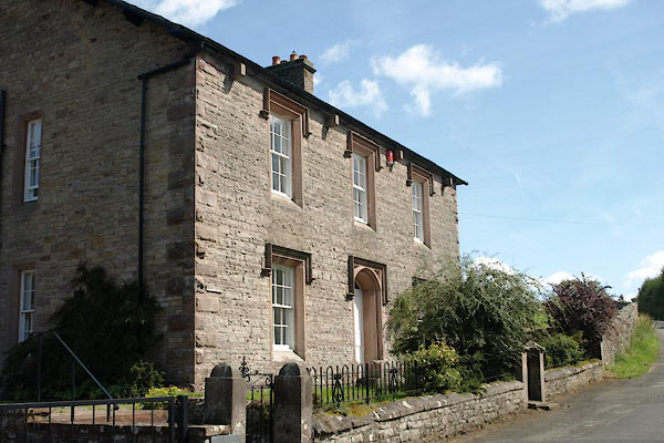 BVD61.jpg (taken 5.8.2011) 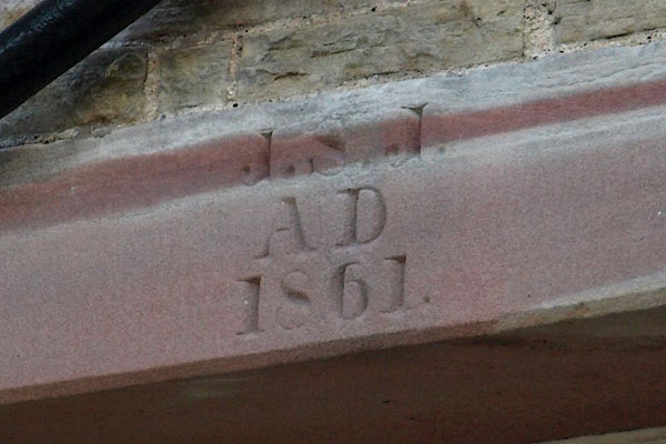 BVD63.jpg Date stone:- "J. S. J. / AD / 1861." (taken 5.8.2011) |
||
|
|
||
| evidence:- | old map:- OS County Series (Cmd 37 12) placename:- Brewery House |
|
| source data:- | Maps, County Series maps of Great Britain, scales 6 and 25
inches to 1 mile, published by the Ordnance Survey, Southampton,
Hampshire, from about 1863 to 1948. |
|
|
|
||
| evidence:- | database:- Listed Buildings 2010 placename:- Brewery House item:- date stone (1861) |
|
| source data:- | courtesy of English Heritage "BREWERY HOUSE / / / CALDBECK / ALLERDALE / CUMBRIA / II / 72371 / NY3223839784" |
|
|
|
||
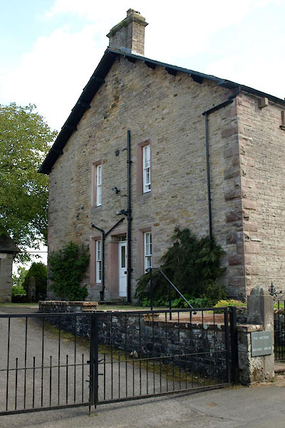 BVD62.jpg The side part is now 'The Rectory' (taken 5.8.2011) 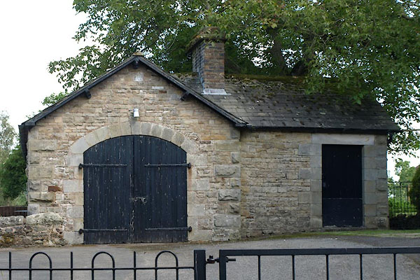 BVD64.jpg Garage, perhaps a coach house? (taken 5.8.2011) |
||
|
|
||
 Lakes Guides menu.