 Old Cumbria Gazetteer
 |
 |
|
| canal lock, Ulverston | ||
| site name:- | Ulverston Canal | |
| locality:- | Canal Foot | |
| civil parish:- | Ulverston (formerly Lancashire) | |
| county:- | Cumbria | |
| locality type:- | canal lock | |
| locality type:- | canal basin | |
| locality type:- | pier | |
| coordinates:- | SD31317768 | |
| 1Km square:- | SD3177 | |
| 10Km square:- | SD37 | |
|
|
||
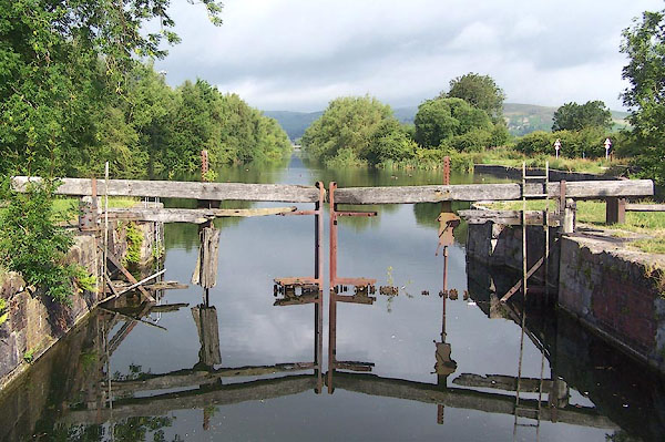 BMI96.jpg (taken 10.7.2006) 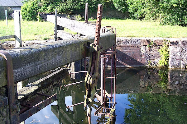 BMI97.jpg Sluice gear. (taken 10.7.2006) |
||
|
|
||
| evidence:- | database:- Listed Buildings 2010 |
|
| source data:- | courtesy of English Heritage "CANAL BASIN AND PIER ON SEAWARD END OF ULVERSTON CANAL,CANAL FOOT / / / ULVERSTON / SOUTH LAKELAND / CUMBRIA / II / 459889 / SD3128977710" |
|
| source data:- | courtesy of English Heritage "Pier, lock, and perimeter walls of canal basin. Canal begun 1793 and opened 1796. Engineer John Rennie. The pier is built of large rock-faced limestone blocks, and projects eastwards into the Ulverston Channel on the south side of the lock entrance. Its seaward end is rounded and its southern wall is battered. Set into it are 4 cast-iron bollards. The lock chamber walls are mostly of sandstone blocks with brick repair. The eastern lock gates have been replaced by concrete, but the rotting remains of the western gates survive. The chamber is now spanned by a C20 girder footbridge. To the west is the Lower Basin, which is partly surrounded by rubble walls with brick repairs." "HISTORICAL NOTE: the Ulverston Canal was a ship canal one-and-a-half miles long, with its terminus at Canal Head close to the town. In 1862 it was bought by the Furness Railway. It was closed to traffic in 1916 and in 1949 the lock gates were sealed with concrete." |
|
|
|
||
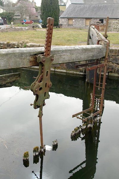 BYC88.jpg (taken 11.4.2013) 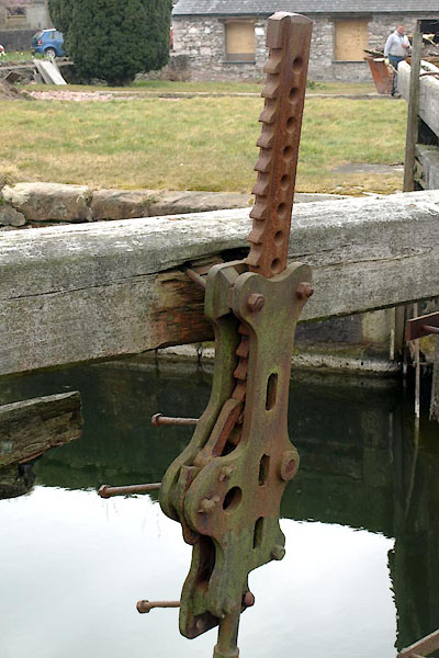 BYC89.jpg (taken 11.4.2013) 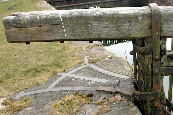 BYC90.jpg (taken 11.4.2013) 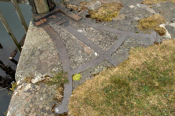 BYC91.jpg (taken 11.4.2013) 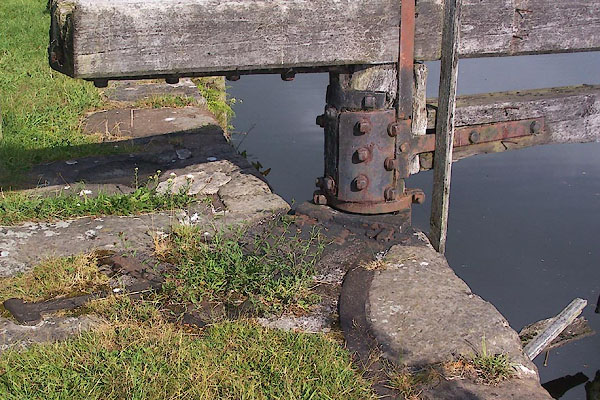 BMI98.jpg (taken 10.7.2006) 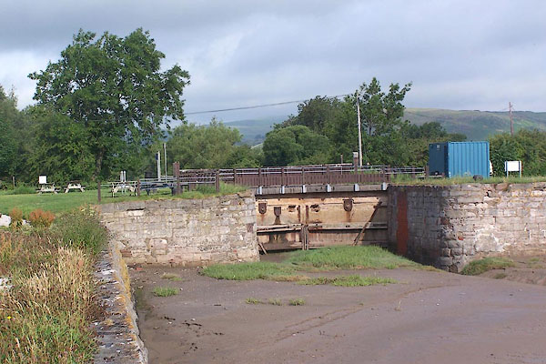 BMI99.jpg (taken 10.7.2006) |
||
|
|
||
 Lakes Guides menu.