 Old Cumbria Gazetteer
 |
 |
|
| Carleton Hall Farm, Carleton | ||
| Carleton Hall Farm | ||
| Street:- | Carleton Avenue | |
| locality:- | Carleton | |
| civil parish:- | Penrith (formerly Cumberland) | |
| county:- | Cumbria | |
| locality type:- | buildings | |
| coordinates:- | NY52862952 | |
| 1Km square:- | NY5229 | |
| 10Km square:- | NY52 | |
| references:- | Listed Buildings 2010 |
|
|
|
||
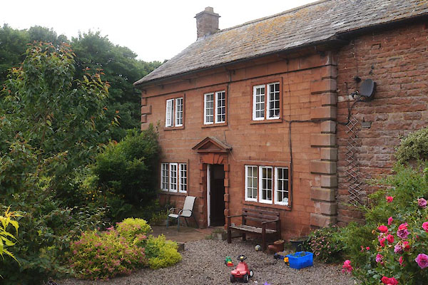 CDP76.jpg (taken 24.7.2015) courtesy of the owner |
||
|
|
||
| evidence:- | old map:- OS County Series (Cmd 59 5) placename:- Carletonhill Cottage |
|
| source data:- | Maps, County Series maps of Great Britain, scales 6 and 25
inches to 1 mile, published by the Ordnance Survey, Southampton,
Hampshire, from about 1863 to 1948. |
|
|
|
||
| evidence:- | database:- Listed Buildings 2010 placename:- Carleton Hall Farm |
|
| source data:- | courtesy of English Heritage "CARLETON HALL FARMHOUSE / / CARLETON AVENUE / PENRITH / EDEN / CUMBRIA / II[star] / 72800 / NY5286429525" |
|
|
|
||
 Lakes Guides menu.