 Old Cumbria Gazetteer
 |
 |
|
| Carlisle Cemetery, Carlisle | ||
| Carlisle Cemetery | ||
| Dalston Road Cemetery | ||
| Street:- | Dalston Road | |
| Street:- | Richardson Street | |
| locality:- | Longsowerby | |
| locality:- | Spital Moor | |
| civil parish:- | Carlisle (formerly Cumberland) | |
| county:- | Cumbria | |
| locality type:- | cemetery | |
| coordinates:- | NY39065427 (etc) | |
| 1Km square:- | NY3954 | |
| 10Km square:- | NY35 | |
|
|
||
 CFR44.jpg (taken 7.11.2016) 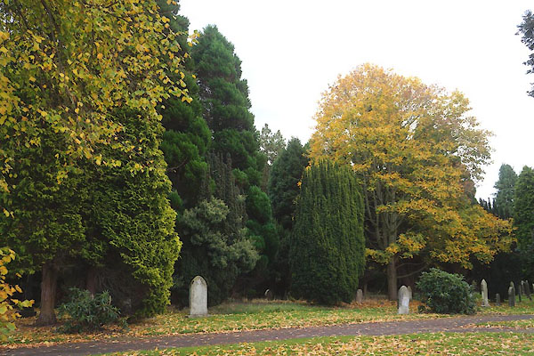 CFR43.jpg (taken 7.11.2016) |
||
|
|
||
| evidence:- | old map:- OS County Series (Cmd 23 7) |
|
| source data:- | Maps, County Series maps of Great Britain, scales 6 and 25
inches to 1 mile, published by the Ordnance Survey, Southampton,
Hampshire, from about 1863 to 1948. "CEMETERY / Lodge / Mortuary Chapel (Dissenters) / Mortuary Chapel (Episcopal)" |
|
|
|
||
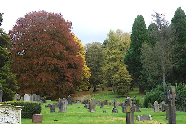
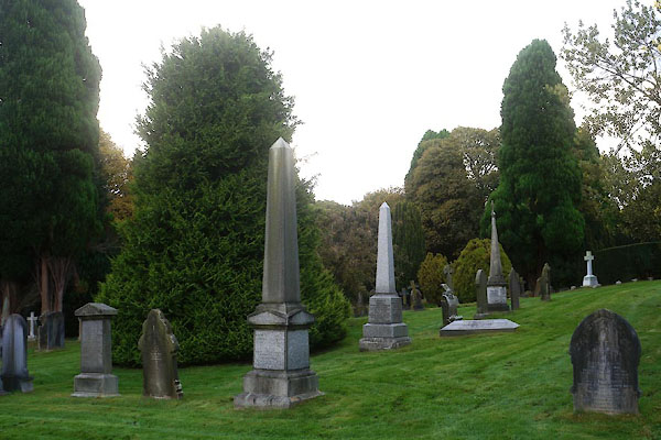
 gravestones gravestones |
||
|
|
||
 CFR17.jpg (taken 7.11.2016) 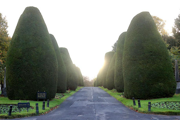 CFR18.jpg Yew avenue. (taken 7.11.2016)  CFR59.jpg Fungus. (taken 7.11.2016) 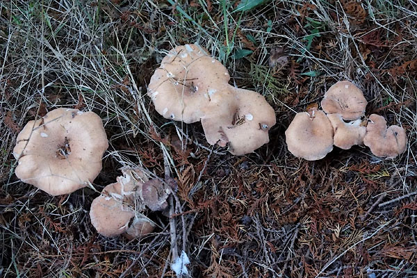 CFR60.jpg Fungus. (taken 7.11.2016) |
||
|
|
||
 Lakes Guides menu.