 Old Cumbria Gazetteer
 |
 |
|
| Carlisle: Tait Street | ||
| Tait Street | ||
| locality:- | Botchergate | |
| civil parish:- | Carlisle (formerly Cumberland) | |
| county:- | Cumbria | |
| locality type:- | street | |
| locality type:- | buildings | |
| coordinates:- | NY40505550 (etc) | |
| 1Km square:- | NY4055 | |
| 10Km square:- | NY45 | |
| references:- | Listed Buildings 2010 |
|
|
|
||
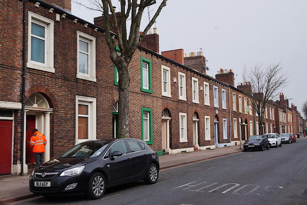 CAE91.jpg (taken 30.3.2014) 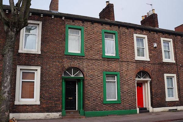 CAE92.jpg No.5 (taken 30.3.2014) |
||
|
|
||
| evidence:- | old map:- OS County Series (Cmd 23 8) placename:- Tait Street |
|
| source data:- | Maps, County Series maps of Great Britain, scales 6 and 25
inches to 1 mile, published by the Ordnance Survey, Southampton,
Hampshire, from about 1863 to 1948. |
|
|
|
||
| evidence:- | database:- Listed Buildings 2010 |
|
| source data:- | courtesy of English Heritage "/ 11232 / TAIT STREET / CARLISLE / CARLISLE / CUMBRIA / II / 386876 / NY4050055500" |
|
|
|
||
| evidence:- | database:- Listed Buildings 2010 |
|
| source data:- | courtesy of English Heritage "/ 44197 / TAIT STREET / CARLISLE / CARLISLE / CUMBRIA / II / 386875 / NY4048755504" |
|
|
|
||
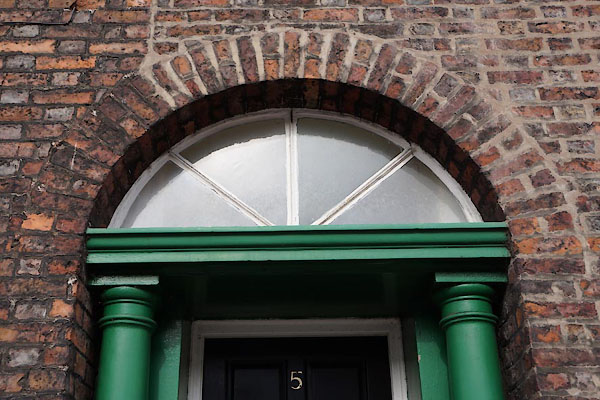 CAE93.jpg Fanlight. (taken 30.3.2014) 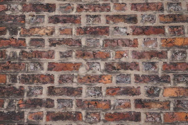 CAE94.jpg Felmish bond brickwork. (taken 30.3.2014) |
||
|
|
||
 Lakes Guides menu.