 Old Cumbria Gazetteer
 |
 |
|
| Carlisle: Warwick Road | ||
| Warwick Road | ||
| site name:- | road, Carlisle to Brampton S | |
| locality:- | Carlisle | |
| civil parish:- | Carlisle (formerly Cumberland) | |
| county:- | Cumbria | |
| locality type:- | street | |
| coordinates:- | NY40325575 | |
| 1Km square:- | NY4055 | |
| 10Km square:- | NY45 | |
|
|
||
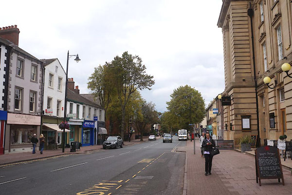 CBR65.jpg (taken 15.9.2014) 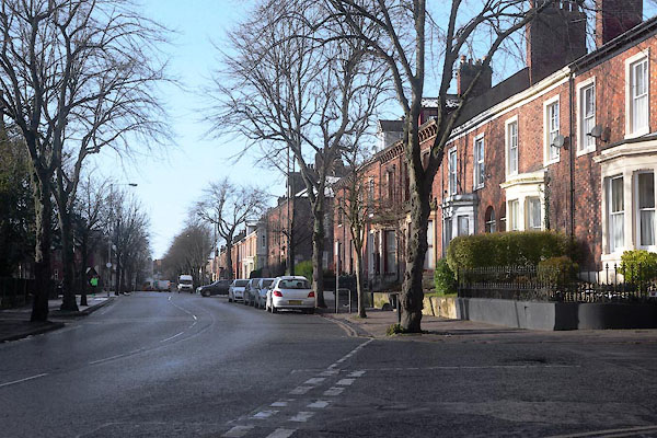 CCG51.jpg (taken 30.1.2015) |
||
|
|
||
| evidence:- | old map:- OS County Series (Cmd 23 4) placename:- Warwick Road |
|
| source data:- | Maps, County Series maps of Great Britain, scales 6 and 25
inches to 1 mile, published by the Ordnance Survey, Southampton,
Hampshire, from about 1863 to 1948. |
|
|
|
||
| evidence:- | old map:- OS County Series (Cmd 23 3) placename:- Henry Street |
|
| source data:- | Maps, County Series maps of Great Britain, scales 6 and 25
inches to 1 mile, published by the Ordnance Survey, Southampton,
Hampshire, from about 1863 to 1948. OS County Series (Cmd 23 4) |
|
|
|
||
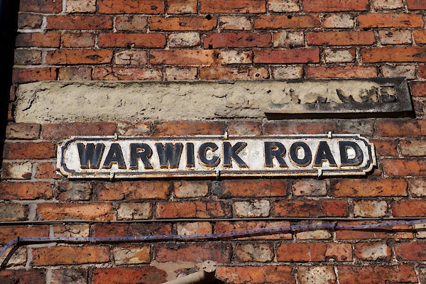 CCH12.jpg Street sign. (taken 30.1.2015) |
||
|
|
||
 Lakes Guides menu.