 Old Cumbria Gazetteer
 |
 |
|
| Chapel Bridge, Howgill | ||
| Chapel Bridge | ||
| site name:- | Long Rigg Beck | |
| Street:- | Howgill Lane | |
| locality:- | Howgill | |
| civil parish:- | Sedbergh (formerly Yorkshire) | |
| county:- | Cumbria | |
| locality type:- | bridge | |
| coordinates:- | SD63439502 | |
| 1Km square:- | SD6395 | |
| 10Km square:- | SD69 | |
|
|
||
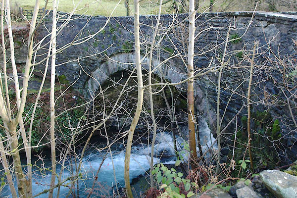 BXR03.jpg (taken 23.11.2012) 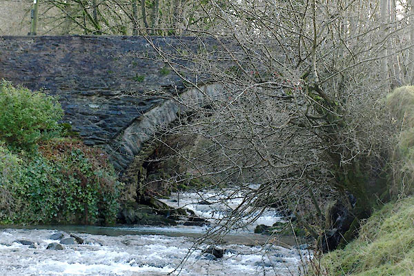 BXR02.jpg (taken 23.11.2012) |
||
|
|
||
| evidence:- | old map:- OS County Series (Yrk 48 10) placename:- Chapel Bridge |
|
| source data:- | Maps, County Series maps of Great Britain, scales 6 and 25
inches to 1 mile, published by the Ordnance Survey, Southampton,
Hampshire, from about 1863 to 1948. |
|
|
|
||
| evidence:- | database:- Listed Buildings 2010 placename:- Chapel Bridge |
|
| source data:- | courtesy of English Heritage "CHAPEL BRIDGE / / HOWGILL LANE / SEDBERGH / SOUTH LAKELAND / CUMBRIA / II / 484571 / SD6343295027" |
|
| source data:- | courtesy of English Heritage "Also known as: Chapel Bridge HOWGILL LANE Howgill. Public road bridge over Long Rigg Beck. Probably C18. Roughly-coursed rubble. An almost semicircular arch with rubble voussoirs and a thin stone-slate arch-band; straight parapets with flat coping." |
|
|
|
||
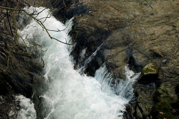 BXR08.jpg View of river. (taken 23.11.2012) |
||
|
|
||
 Lakes Guides menu.