 Old Cumbria Gazetteer
 |
 |
|
| ford, Bewcastle (3) | ||
| site name:- | Bothrigg Burn | |
| locality:- | Rawney | |
| civil parish:- | Bewcastle (formerly Cumberland) | |
| county:- | Cumbria | |
| locality type:- | ford | |
| locality type:- | footbridge | |
| coordinates:- | NY54867624 | |
| 1Km square:- | NY5476 | |
| 10Km square:- | NY57 | |
|
|
||
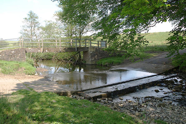 BSW36.jpg (taken 4.6.2010) 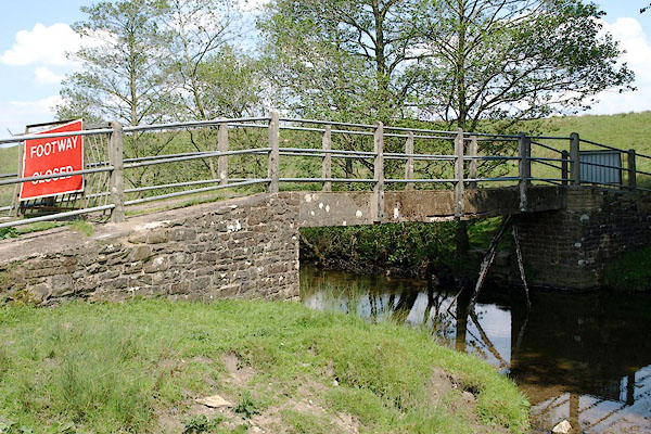 BSW37.jpg Footbridge. (taken 4.6.2010) |
||
| Several of the footbridges by fords in this area were closed; this one has reinforcing
bars falling out below. |
||
|
|
||
| evidence:- | old map:- OS County Series (Cmd 8 1) |
|
| source data:- | Maps, County Series maps of Great Britain, scales 6 and 25
inches to 1 mile, published by the Ordnance Survey, Southampton,
Hampshire, from about 1863 to 1948. "Ford / Ford / Stepping Stones" and perhaps a footbridge by the northerly ford |
|
|
|
||
 Lakes Guides menu.