 |
 |
|
|
|
| runs into:- |
 South Tyne, River South Tyne, River |
|
|
|
|
| civil parish:- |
Alston Moor (formerly Cumberland) |
| county:- |
Cumbria |
| locality type:- |
river |
| 1Km square:- |
NY7442 (etc) |
| 10Km square:- |
NY74 |
|
|
| evidence:- |
old map:- OS County Series (Cmd 42 2)
placename:- Garrigill Burn
|
| source data:- |
Maps, County Series maps of Great Britain, scales 6 and 25
inches to 1 mile, published by the Ordnance Survey, Southampton,
Hampshire, from about 1863 to 1948.
|
|
|
| places:- |
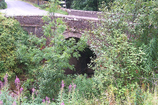 |
NY74264201 Lowhouses Bridge (Alston Moor) |
|
|
|
NY74424217 Thortergill Force (Alston Moor) |
|
|
|
NY75024245 Whitesike Mine Bridge (Alston Moor) |
|
