 Old Cumbria Gazetteer
 |
 |
|
| Gibbs Hall Farm, Dent | ||
| Gibbs Hall Farm | ||
| civil parish:- | Dent (formerly Yorkshire) | |
| county:- | Cumbria | |
| locality type:- | buildings | |
| coordinates:- | SD73518638 | |
| 1Km square:- | SD7386 | |
| 10Km square:- | SD78 | |
| references:- | Listed Buildings 2010 |
|
|
|
||
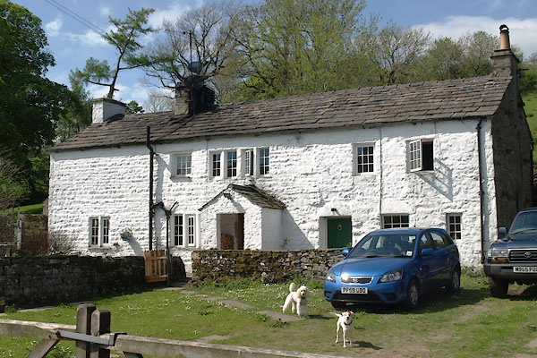 BYL32.jpg (taken 31.5.2013) |
||
|
|
||
| evidence:- | old map:- OS County Series (Yrk 64 15) placename:- Gib's Hall |
|
| source data:- | Maps, County Series maps of Great Britain, scales 6 and 25
inches to 1 mile, published by the Ordnance Survey, Southampton,
Hampshire, from about 1863 to 1948. |
|
|
|
||
| evidence:- | database:- Listed Buildings 2010 placename:- Gibbs Hall Farm item:- spice cupboard |
|
| source data:- | courtesy of English Heritage "GIBBS HALL FARMHOUSE / / / DENT / SOUTH LAKELAND / CUMBRIA / II / 484307 / SD7351286383" |
|
|
|
||
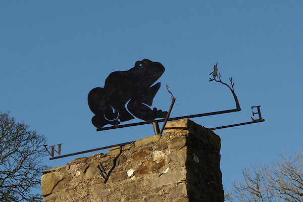 BTZ21.jpg Weathervane. (taken 28.1.2011) |
||
|
|
||
 Lakes Guides menu.