 Old Cumbria Gazetteer
 |
 |
|
| High Lodge, Casterton | ||
| High Lodge | ||
| locality:- | Casterton | |
| civil parish:- | Casterton (formerly Westmorland) | |
| county:- | Cumbria | |
| locality type:- | buildings | |
| coordinates:- | SD62177926 | |
| 1Km square:- | SD6279 | |
| 10Km square:- | SD67 | |
| references:- | Listed Buildings 2010 |
|
|
|
||
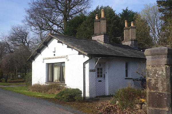 CFY33.jpg (taken 24.3.2017) |
||
|
|
||
| evidence:- | old map:- OS County Series (Wmd 47 8) placename:- High Lodge placename:- Lodge, High |
|
| source data:- | Maps, County Series maps of Great Britain, scales 6 and 25
inches to 1 mile, published by the Ordnance Survey, Southampton,
Hampshire, from about 1863 to 1948. |
|
|
|
||
| evidence:- | database:- Listed Buildings 2010 |
|
| source data:- | courtesy of English Heritage "COW SHELTER APPROXIMATELY 110M SOUTH OF HIGH LODGE / / A683 / CASTERTON / SOUTH LAKELAND / CUMBRIA / II / 75612 / SD6217279263" |
|
|
|
||
 Lakes Guides menu.