 Old Cumbria Gazetteer
 |
 |
|
| High Mill House, Crook | ||
| High Mill House | ||
| High Mill | ||
| civil parish:- | Crook (formerly Westmorland) | |
| county:- | Cumbria | |
| locality type:- | buildings | |
| coordinates:- | SD41369413 | |
| 1Km square:- | SD4194 | |
| 10Km square:- | SD49 | |
| references:- | Listed Buildings 2010 |
|
|
|
||
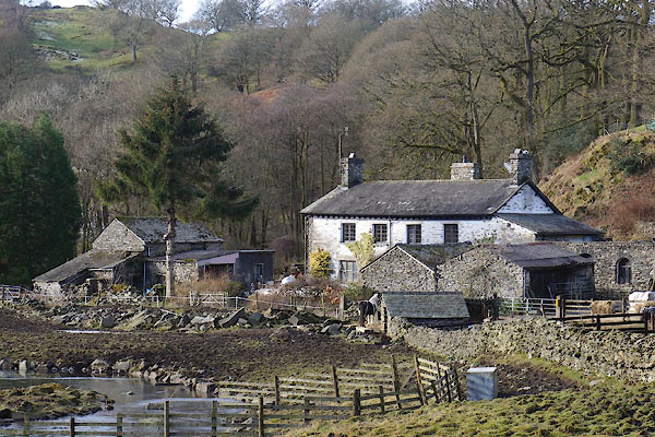 CCH46.jpg (taken 4.2.2015) |
||
|
|
||
| evidence:- | old map:- OS County Series (Wmd 37 4) placename:- High Mill placename:- Mill, High |
|
| source data:- | Maps, County Series maps of Great Britain, scales 6 and 25
inches to 1 mile, published by the Ordnance Survey, Southampton,
Hampshire, from about 1863 to 1948. |
|
|
|
||
| evidence:- | old map:- Jefferys 1770 (Wmd) placename:- High Mill placename:- Mill, High |
|
| source data:- | Map, 4 sheets, The County of Westmoreland, scale 1 inch to 1
mile, surveyed 1768, and engraved and published by Thomas
Jefferys, London, 1770.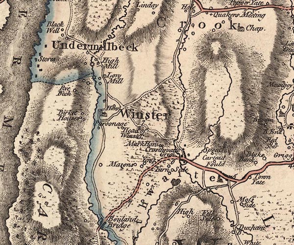 J5SD49SW.jpg "High Mill" circle, labelled in italic lowercase text; settlement, farm, house, or hamlet? and circle with rays; water mill item:- National Library of Scotland : EME.s.47 Image © National Library of Scotland |
|
|
|
||
| evidence:- | database:- Listed Buildings 2010 placename:- High Mill House |
|
| source data:- | courtesy of English Heritage "HIGH MILL HOUSE / / / CROOK / SOUTH LAKELAND / CUMBRIA / II / 76398 / SD4136094134" |
|
|
|
||
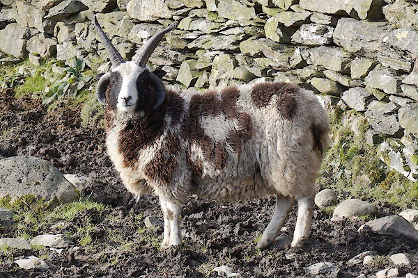 CCH47.jpg Jacob sheep. (taken 4.2.2015) 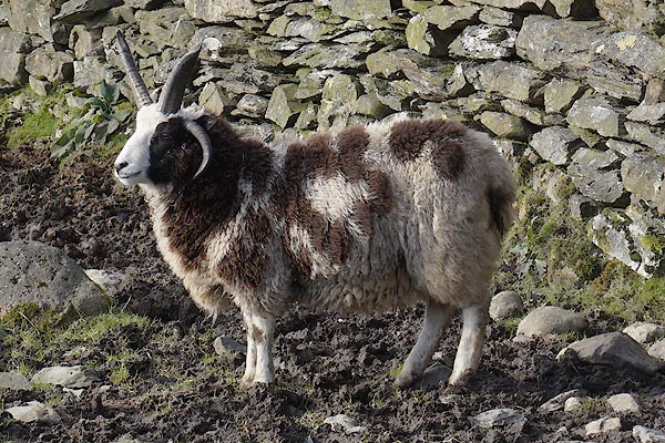 CCH48.jpg Jacob sheep. (taken 4.2.2015) 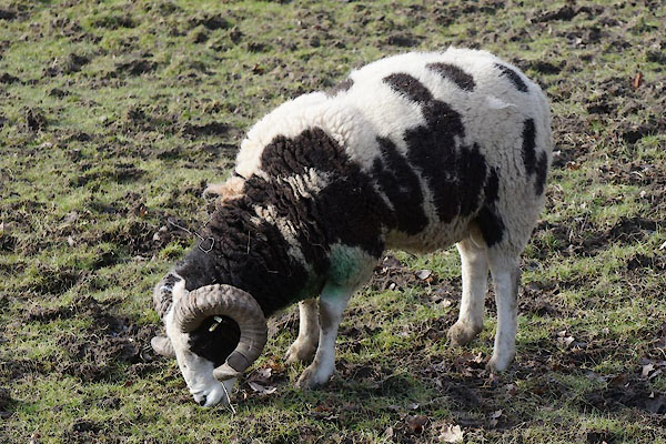 CCH49.jpg Jacob sheep. (taken 4.2.2015) 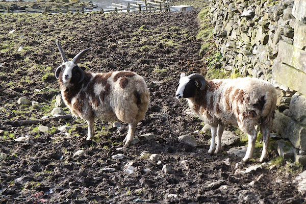 CCH50.jpg Jacob sheep. (taken 4.2.2015) |
||
|
|
||
 Lakes Guides menu.