 Old Cumbria Gazetteer
 |
 |
|
|
| Kendal: Lowther Street | |||
| Lowther Street | |||
| locality:- | Kendal | ||
| civil parish:- | Kendal (formerly Westmorland) | ||
| county:- | Cumbria | ||
| coordinates:- | SD51549262 (etc) | ||
| 1Km square:- | SD5192 | ||
| 10Km square:- | SD59 | ||
|
|
|||
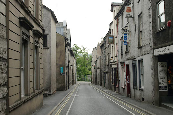 BYS83.jpg (taken 7.7.2013) 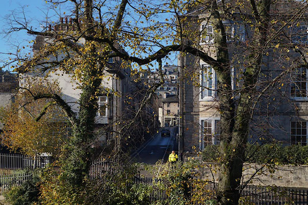 BZQ25.jpg (taken 10.11.2013) |
|||
|
|
|||
| evidence:- | old map:- OS County Series (Wmd 38 8) placename:- Lowther Street |
||
| source data:- | Maps, County Series maps of Great Britain, scales 6 and 25
inches to 1 mile, published by the Ordnance Survey, Southampton,
Hampshire, from about 1863 to 1948. |
||
|
|
|||
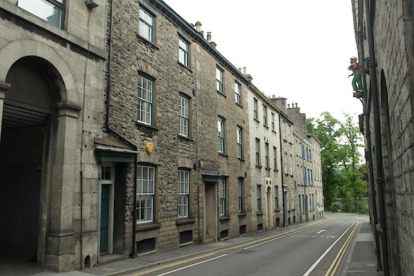 BYS84.jpg Nos.24 onwards. (taken 7.7.2013) |
|||
|
|
|||
| mapping:- |  Kendal: Highgate Kendal: Allhallows Lane Kendal: Highgate Kendal: Allhallows Lane Kendal: Kent Street Miller Bridge, Kendal Kendal: Highgate Kendal: Allhallows Lane Kendal: Highgate Kendal: Allhallows Lane Kendal: Kent Street Miller Bridge, Kendal[New Road] Kendal: Kent Street Miller Bridge, Kendal[New Road] |
||
|
|
|||
Lakes Guides menu.